


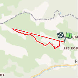

14.7 km | 26 km-effort

User


FREE GPS app for hiking
 SityTrail
IGN / Geographical institutes
SityTrail World
The world is yours!
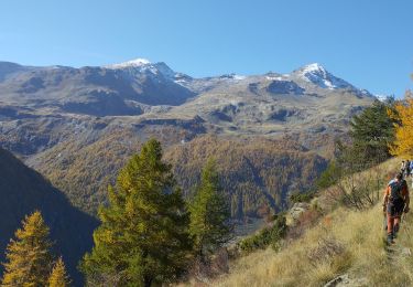
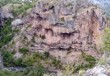
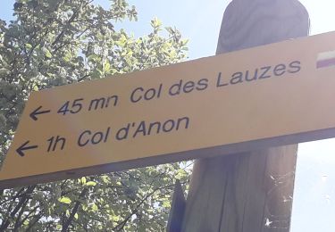
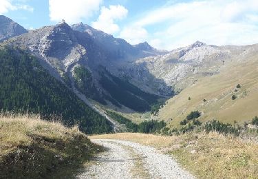
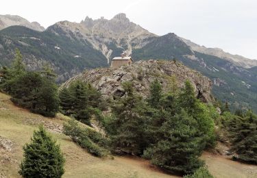
Trail Other activity of 6.4 km to be discovered at Provence-Alpes-Côte d'Azur, Hautes-Alpes, Freissinières. This trail is proposed by rafaure.
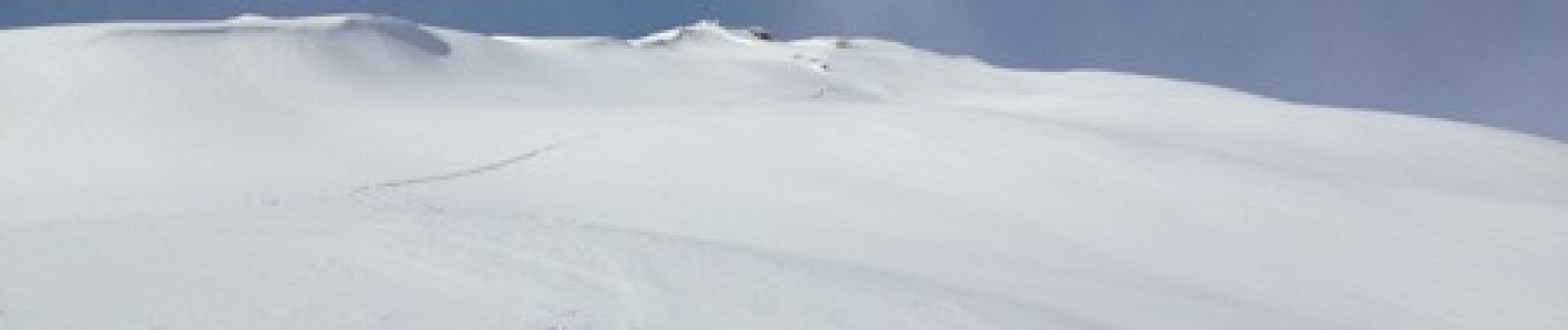
Rando à ski - 1 classique du Pays des Écrins


Walking
Walking

Walking
Walking
Walking
Walking
Walking
Walking
Walking