


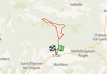

13 km | 19.9 km-effort


User


FREE GPS app for hiking
 SityTrail
IGN / Geographical institutes
SityTrail World
The world is yours!
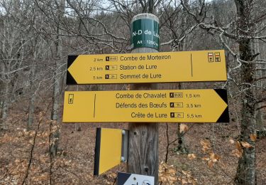
Trail Snowshoes of 23 km to be discovered at Provence-Alpes-Côte d'Azur, Alpes-de-Haute-Provence, Cruis. This trail is proposed by dumotier.
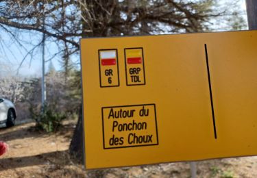
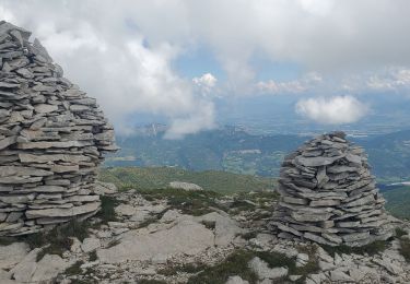
Attention au verglas sur l'arête et aux rafales de vent qui peuvent être violentes

Walking
Walking
Walking

Walking
Walking
Walking

Walking

Walking
Walking