12.7 km | 16.6 km-effort
grignons
j2px
User
Length
13.3 km
Max alt
201 m
Uphill gradient
289 m
Km-Effort
17.1 km
Min alt
73 m
Downhill gradient
291 m
Boucle
Yes
Creation date :
2014-12-10 00:00:00.0
Updated on :
2014-12-10 00:00:00.0
3h22
Difficulty : Easy
FREE GPS app for hiking
About
Trail Walking of 13.3 km to be discovered at New Aquitaine, Dordogne, Grignols. This trail is proposed by j2px.
Description
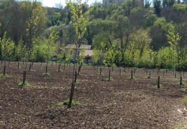
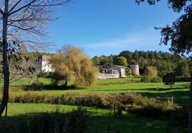
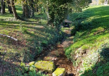
Rando vallonnée
Positioning
Country:
France
Region :
New Aquitaine
Department/Province :
Dordogne
Municipality :
Grignols
Location:
Unknown
Start:(Dec)
Start:(UTM)
306393 ; 4995137 (31T) N.
Comments
Trails nearby
Petite Boucle Chateau de Jaure
Walking
Easy
Jaure,
New Aquitaine,
Dordogne,
France
4.9 km | 6.2 km-effort
1h 20min
Yes
Petite Boucle Chateau de Jaure
Walking
Easy
Jaure,
New Aquitaine,
Dordogne,
France
4.9 km | 6.2 km-effort
1h 20min
Yes
boucle bruc grignols
Walking
Easy
Grignols,
New Aquitaine,
Dordogne,
France
7 km | 9.1 km-effort
1h 49min
Yes
Autour de Manzac sur Vern
Walking
Difficult
Manzac-sur-Vern,
New Aquitaine,
Dordogne,
France
18 km | 24 km-effort
4h 30min
Yes
Boucle des Chaulnes
On foot
Easy
Grignols,
New Aquitaine,
Dordogne,
France
13.2 km | 17.6 km-effort
4h 0min
Yes
Sentier historique
On foot
Easy
Grignols,
New Aquitaine,
Dordogne,
France
12.3 km | 16 km-effort
3h 38min
Yes
Boucle de Chante Coucou
On foot
Easy
Bourrou,
New Aquitaine,
Dordogne,
France
8.1 km | 10.5 km-effort
2h 22min
Yes
Boucle du Land'Art
On foot
Easy
Bourrou,
New Aquitaine,
Dordogne,
France
3.4 km | 4.6 km-effort
1h 2min
Yes