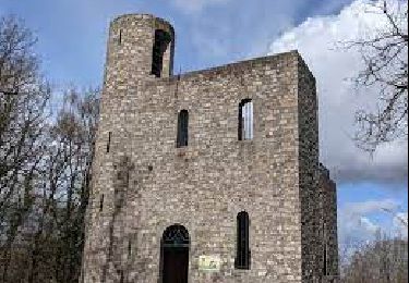
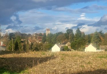
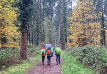
Trail Walking Soisy-sur-École - Manu-121125-Gâtinais - Soisy-Milly - Photo

Manu-121125-Gâtinais - Soisy-Milly

 randodan
randodan

User

© OpenStreetMap contributors
Length
Length
27 km
Max alt
Max alt
81 m
Uphill gradient
Uphill gradient
188 m
Km-Effort
Km-Effort  
29 km
Min alt
Min alt
50 m
Downhill gradient
Downhill gradient
188 m
Boucle
Boucle
Yes
Creation date :
2014-12-10 00:00:00.0
Updated on :
2014-12-10 00:00:00.0

(0 Reviews)

Walking
Walking
7h40
Difficulty : Very easy

Scan this QR Code to open this trail in the SityTrail application

FREE GPS app for hiking

Logo SityTrail SityTrail
IGN / Geographical institutes

Download SityTrail from the App Store Download SityTrail from Google Play

Logo SityTrail SityTrail World

The world is yours!

Download SityTrail from the App Store Download SityTrail from Google Play Download SityTrail on Huawei AppGallery

About

Trail Walking of 27 km to be discovered at Ile-de-France, Essonne, Soisy-sur-École. This trail is proposed by randodan.

Description

2012 - Gâtinais Manureva - 25 novembre -<br>
J2: aller-retour Soisy-Milly .<br>
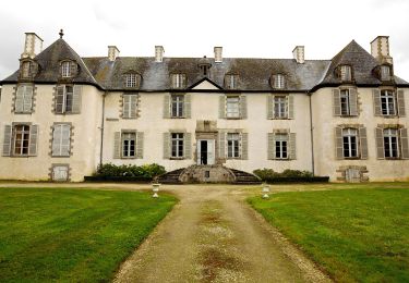
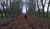
Départ de l´église de Milly, 9h20 . A Dannemois, un beau petit lavoir sur l´École . 10h30 devant le Château de Courances, nombreuses se promettent de revenir visiter le parc ; le contournons par l´Est . Dannemois, suivons le GR32 . Long, long, long le long de la piste cyclable entre Moigny et Milly.<br>
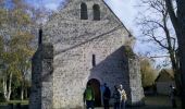
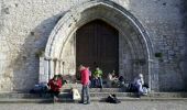
12h40 à Milly, mais la halle manque de confort pour pique-niquer, on préférera les marches bien ensoleillées et confortables de l´église .<br>
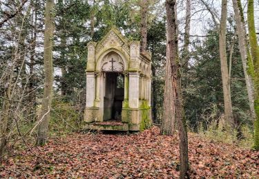
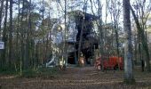
13h40, quittons les marches pour marcher dans les souvenirs de Jean Cocteau . 14h, visitons la Chapelle Saint-Blaise des Simples, puis reprenons en sens inverse le chemin parcouru ce matin . 15h, devant l´étrange construction du Cyclope . Pour changer, nous contourons le parc du Château de Courances par son côté ouest . Passer par le bois de la Garenne aurait été très sympa, mais les coups de fusils nous en dissuadent .<br>
17h30, c´est presqu´à la nuit que nous arrivons, fourbus, aux voitures .<br>
Heureusement nous reconstituerons nos forces au Relais des Halles .<br>
7 participants .

Elevation profile

Photos

Points of interest

Point of interest Milly-la-Forêt - 03 - La Halle de Milly - Photo
randodan
MILLY-LA-FORÊT 
Point of interest Milly-la-Forêt - 04 - L'église de Milly - Photo
randodan
MILLY-LA-FORÊT 
Point of interest Milly-la-Forêt - 05 - Chapelle Saint-Blaise à Milly - Photo
randodan
Point of interest Milly-la-Forêt - 06 - Bois des Pauvres - Photo
randodan
MILLY-LA-FORÊT 
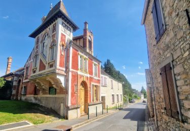
Point of interest Soisy-sur-École - 01 - Soisy - Photo
randodan
SOISY-SUR-ÉCOLE 
Point of interest Courances - 02 - Courances - Photo
randodan
COURANCES 
Point of interest Soisy-sur-École - 07 - Soisy - Photo
randodan
SOISY-SUR-ÉCOLE 

Positioning

Country:
France
Region :
Ile-de-France
Department/Province :
Essonne
Municipality :
Soisy-sur-École
Location:
Unknown
Start:(UTM)
462798 ; 5369181 (31U) N.

Trails nearby

Trail On foot Saint-Germain-sur-École - Boucle Soisy Sur Ecole - Photo
On foot
GUIDE
chessyca

On foot

Medium
(1)
Saint-Germain-sur-École, Ile-de-France, Seine-et-Marne, France
21 km | 25 km-effort
5h 39min
Yes
Trail Walking Champcueil - JC 51 - 18,4 km - 320m - Champcueil, Les Grands Avaux - 23 km Effort - Photo
Walking

Walking

Difficult
(2)
Champcueil, Ile-de-France, Essonne, France
17.7 km | 22 km-effort
4h 58min
Yes
Trail Walking Saint-Germain-sur-École - Boucle soisy version definitif - Photo
Walking
GUIDE
chessyca

Walking

Easy
Saint-Germain-sur-École, Ile-de-France, Seine-et-Marne, France
22 km | 26 km-effort
4h 53min
Yes
Trail On foot Champcueil - Boucle Beauvais 28 km - Photo
On foot
GUIDE
chessyca

On foot

Medium
Champcueil, Ile-de-France, Essonne, France
28 km | 34 km-effort
7h 41min
Yes
Trail Walking Champcueil - Boucle Champcueil - Photo
Walking
GUIDE
chessyca

Walking

Medium
Champcueil, Ile-de-France, Essonne, France
25 km | 30 km-effort
5h 38min
Yes
Trail Walking Saint-Germain-sur-École - Autour de Soisy sur Ecole - Boucle 30 km - Photo
Walking
GUIDE
chessyca

Walking

Medium
Saint-Germain-sur-École, Ile-de-France, Seine-et-Marne, France
30 km | 36 km-effort
6h 3min
Yes
Trail On foot Champcueil - Balade entre Brie de Gâtinais - Photo
On foot
GUIDE+

On foot

Easy
Champcueil, Ile-de-France, Essonne, France
13.1 km | 15.7 km-effort
3h 33min
No
Trail Walking Saint-Sauveur-sur-École - Autour de St Sauveur l'Ecole - Photo
Walking
GUIDE
chessyca

Walking

Very easy
Saint-Sauveur-sur-École, Ile-de-France, Seine-et-Marne, France
23 km | 26 km-effort
5h 13min
Yes
Trail Walking Champcueil - Grands Avaux - Tertre blanc  (Nainville) - fait - Photo
Walking
nicolas93

Walking

Easy
(1)
Champcueil, Ile-de-France, Essonne, France
17.7 km | 22 km-effort
4h 51min
Yes


Close
My subscriptions