


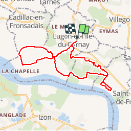

13.5 km | 16.1 km-effort


User


FREE GPS app for hiking
 SityTrail
IGN / Geographical institutes
SityTrail World
The world is yours!
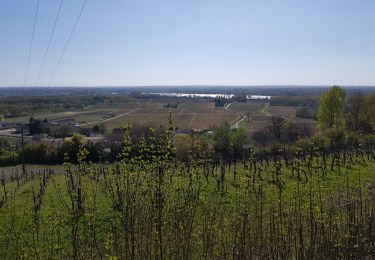
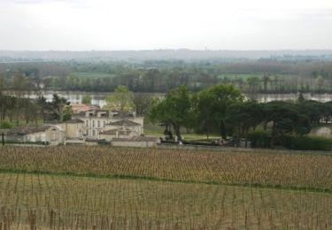
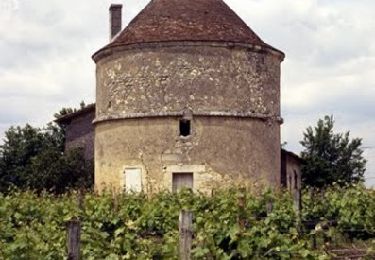
Trail Mountain bike of 16.9 km to be discovered at New Aquitaine, Gironde, Lugon-et-l'Île-du-Carnay. This trail is proposed by FranckBag.
Paysages du Fronsadais, rives de la Dordogne, peu de difficulté par temps sec, dénivelé faible et chemins roulants. Difficile par temps de pluie à cause de passages boueux.
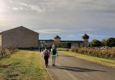
Walking
Walking
Walking
Walking
Running

Mountain bike
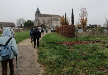
Walking

Walking
Walking