20 km | 23 km-effort
Alluy
kronio
User
Length
12.9 km
Max alt
273 m
Uphill gradient
142 m
Km-Effort
14.8 km
Min alt
223 m
Downhill gradient
142 m
Boucle
Yes
Creation date :
2014-12-10 00:00:00.0
Updated on :
2014-12-10 00:00:00.0
2h58
Difficulty : Very easy
FREE GPS app for hiking
About
Trail Walking of 12.9 km to be discovered at Bourgogne-Franche-Comté, Nièvre, Alluy. This trail is proposed by kronio.
Description
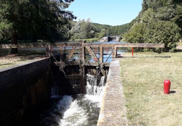
On longe le canal du Nivernais très spectaculaire à la jonction de l'Aron
Positioning
Country:
France
Region :
Bourgogne-Franche-Comté
Department/Province :
Nièvre
Municipality :
Alluy
Location:
Unknown
Start:(Dec)
Start:(UTM)
548705 ; 5209183 (31T) N.
Comments
Trails nearby
71 Bourgogne J3/8
Bicycle tourism
Very easy
Châtillon-en-Bazois,
Bourgogne-Franche-Comté,
Nièvre,
France
72 km | 80 km-effort
8h 0min
No
vacances 2017 st amand en puizaille
Cycle
Medium
Châtillon-en-Bazois,
Bourgogne-Franche-Comté,
Nièvre,
France
89 km | 106 km-effort
5h 56min
No
TB 8 Châtillon en Bazois - Chaumot
Bicycle tourism
Difficult
Châtillon-en-Bazois,
Bourgogne-Franche-Comté,
Nièvre,
France
33 km | 36 km-effort
2h 24min
No
Au tour de Chatillon- en- Bazois
Walking
Medium
Alluy,
Bourgogne-Franche-Comté,
Nièvre,
France
21 km | 24 km-effort
5h 18min
Yes
visite de Chatillon
Walking
Easy
Châtillon-en-Bazois,
Bourgogne-Franche-Comté,
Nièvre,
France
2.4 km | 2.7 km-effort
47min
Yes