

GR11 Etape3 V2

Tonyar
User

Length
25 km

Max alt
185 m

Uphill gradient
434 m

Km-Effort
31 km

Min alt
61 m

Downhill gradient
370 m
Boucle
No
Creation date :
2014-12-10 00:00:00.0
Updated on :
2014-12-10 00:00:00.0
4h04
Difficulty : Easy

FREE GPS app for hiking
About
Trail Walking of 25 km to be discovered at Ile-de-France, Yvelines, Plaisir. This trail is proposed by Tonyar.
Description
Troisième étape du GR11
Départ Gare Plaisir Grignon - Arrivée Gare Coignières
Etape effectuée le jour de l'hiver juste avant la fin du monde.
Temps couvert sans pluie, parcours un peu gras dans les zones boisées.
Positioning
Country:
France
Region :
Ile-de-France
Department/Province :
Yvelines
Municipality :
Plaisir
Location:
Unknown
Start:(Dec)
Start:(UTM)
422321 ; 5409313 (31U) N.
Comments
Trails nearby
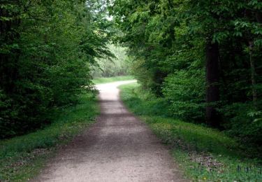
Plaisir et forêt de Ste Apolline


Walking
Medium
(2)
Plaisir,
Ile-de-France,
Yvelines,
France

12.7 km | 15.4 km-effort
2h 30min
Yes
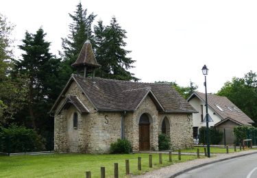
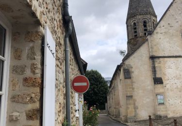
En partant du golf de Feucherolles


Walking
Easy
(1)
Feucherolles,
Ile-de-France,
Yvelines,
France

6.6 km | 7.8 km-effort
2h 4min
Yes

Rennemoulin villepreux


Walking
Medium
Villepreux,
Ile-de-France,
Yvelines,
France

9 km | 9.9 km-effort
2h 15min
Yes
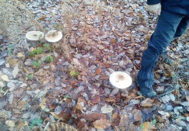
Forêt de Ste Appoline


Walking
Medium
Plaisir,
Ile-de-France,
Yvelines,
France

18.1 km | 22 km-effort
5h 21min
Yes
balade chavenay Yvelines


Other activity
Very easy
Chavenay,
Ile-de-France,
Yvelines,
France

3.1 km | 3.7 km-effort
1h 8min
Yes
Colline de la Revanche 17/05/2018


Walking
Difficult
Élancourt,
Ile-de-France,
Yvelines,
France

4.4 km | 5.8 km-effort
1h 27min
Yes
Sortie du 08/06/2017


Walking
Medium
Beynes,
Ile-de-France,
Yvelines,
France

12.5 km | 15.2 km-effort
3h 30min
Yes
La Revanche


Walking
Very easy
Élancourt,
Ile-de-France,
Yvelines,
France

4.1 km | 5.3 km-effort
1h 20min
Yes


 SityTrail


