20 km | 25 km-effort
Forêt Uttwiller / Bouxwiller
baggera
User
Length
3.4 km
Max alt
268 m
Uphill gradient
46 m
Km-Effort
4.1 km
Min alt
228 m
Downhill gradient
56 m
Boucle
Yes
Creation date :
2014-12-10 00:00:00.0
Updated on :
2014-12-10 00:00:00.0
57m
Difficulty : Very easy
FREE GPS app for hiking
About
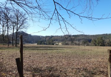
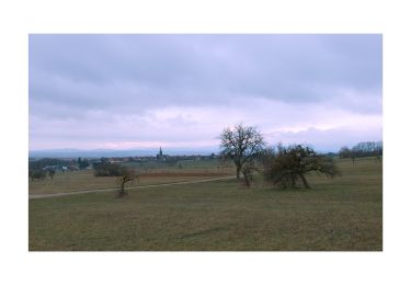
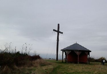
Trail Walking of 3.4 km to be discovered at Grand Est, Bas-Rhin, Bouxwiller. This trail is proposed by baggera.
Description
Signaletique club Vosgien : rond jaune, puis cerle jaune après avoir retraversé la route.
Positioning
Country:
France
Region :
Grand Est
Department/Province :
Bas-Rhin
Municipality :
Bouxwiller
Location:
Unknown
Start:(Dec)
Start:(UTM)
388876 ; 5410535 (32U) N.
Comments
Trails nearby
rando acpl chez sandra 12 10 24
Horseback riding
Medium
Bouxwiller,
Grand Est,
Bas-Rhin,
France
3h 16min
No
boucle Ingwiller /Lichtemberg
Walking
Medium
Ingwiller,
Grand Est,
Bas-Rhin,
France
20 km | 27 km-effort
5h 9min
Yes
Sentier Géologique / Sentier des Chortens
On foot
Easy
Bouxwiller,
Grand Est,
Bas-Rhin,
France
5.8 km | 7.6 km-effort
1h 42min
Yes
Boucle Imbsheim Blastberg
Walking
Easy
Bouxwiller,
Grand Est,
Bas-Rhin,
France
7.4 km | 9.3 km-effort
1h 51min
Yes
Boucle Imbsheim Blastberg
Walking
Easy
Bouxwiller,
Grand Est,
Bas-Rhin,
France
7.4 km | 9.3 km-effort
1h 51min
Yes
sentier geologique du Batsberg
Walking
Medium
Bouxwiller,
Grand Est,
Bas-Rhin,
France
6 km | 7.8 km-effort
2h 31min
Yes
De Bouxwiller à Saverne
Walking
Difficult
Bouxwiller,
Grand Est,
Bas-Rhin,
France
21 km | 28 km-effort
5h 0min
No
rando acpl chez sandra 13 10 24
Horseback riding
Medium
Bouxwiller,
Grand Est,
Bas-Rhin,
France
23 km | 28 km-effort
3h 39min
Yes
Bouxwiller Batsberg Chortens
Walking
Easy
Bouxwiller,
Grand Est,
Bas-Rhin,
France
6.5 km | 8.4 km-effort
2h 2min
Yes