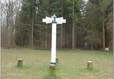
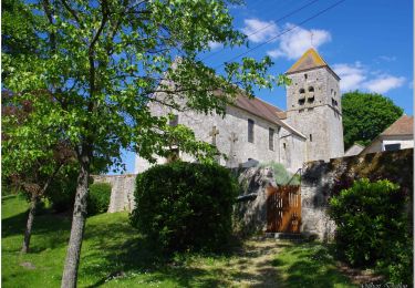
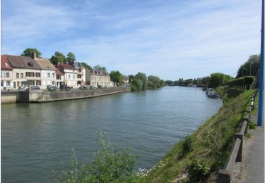
8.4 km | 10.2 km-effort
OTPontsteMaxence11nov2012
gilbertdu60
User
Length
9.8 km
Max alt
127 m
Uphill gradient
154 m
Km-Effort
11.9 km
Min alt
64 m
Downhill gradient
153 m
Boucle
Yes
Creation date :
2014-12-10 00:00:00.0
Updated on :
2014-12-10 00:00:00.0
--
Difficulty : Medium
FREE GPS app for hiking
About
Trail Walking of 9.8 km to be discovered at Hauts-de-France, Oise, Pont-Sainte-Maxence. This trail is proposed by gilbertdu60.
Description
rando
Positioning
Country:
France
Region :
Hauts-de-France
Department/Province :
Oise
Municipality :
Pont-Sainte-Maxence
Location:
Unknown
Start:(Dec)
Start:(UTM)
470749 ; 5460122 (31U) N.
Comments
Trails nearby
La mare aux oiseaux - Beaurepaire
Walking
Medium
(1)
Beaurepaire,
Hauts-de-France,
Oise,
France
2h 10min
Yes
Fleurines Grand parcours
Walking
Easy
(1)
Fleurines,
Hauts-de-France,
Oise,
France
20 km | 24 km-effort
5h 8min
Yes
Mont Pagnotte Grand parcours
Walking
Medium
(2)
Pontpoint,
Hauts-de-France,
Oise,
France
16.6 km | 22 km-effort
4h 36min
Yes
ot 6 octobre 24
Mountain bike
Medium
Pont-Sainte-Maxence,
Hauts-de-France,
Oise,
France
23 km | 27 km-effort
1h 54min
Yes
randonnée Au5v OT Ccpoh halatte
Hybrid bike
Easy
Fleurines,
Hauts-de-France,
Oise,
France
30 km | 35 km-effort
Unknown
Yes
sortie AU5v Pentecôte 2022
Bicycle tourism
Easy
Pont-Sainte-Maxence,
Hauts-de-France,
Oise,
France
26 km | 29 km-effort
Unknown
Yes
balade pedestre 11 avril 2022
On foot
Easy
Pont-Sainte-Maxence,
Hauts-de-France,
Oise,
France
7.2 km | 9.1 km-effort
2h 4min
Yes
balade printanière du 23 mars
Electric bike
Easy
Pont-Sainte-Maxence,
Hauts-de-France,
Oise,
France
22 km | 26 km-effort
2h 14min
Yes
sortie 18 janvier 22
Electric bike
Easy
Pont-Sainte-Maxence,
Hauts-de-France,
Oise,
France
23 km | 27 km-effort
2h 4min
Yes