49 km | 59 km-effort
huberville
mouchelpierre
User
Length
8.9 km
Max alt
65 m
Uphill gradient
84 m
Km-Effort
10 km
Min alt
35 m
Downhill gradient
83 m
Boucle
Yes
Creation date :
2014-12-10 00:00:00.0
Updated on :
2014-12-10 00:00:00.0
2h04
Difficulty : Unknown
FREE GPS app for hiking
About
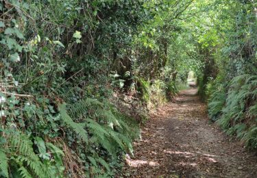
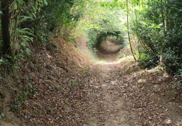
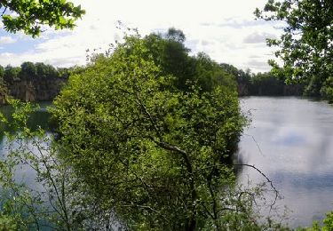
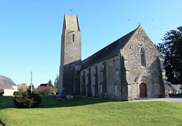
Trail Walking of 8.9 km to be discovered at Normandy, Manche, Huberville. This trail is proposed by mouchelpierre.
Positioning
Country:
France
Region :
Normandy
Department/Province :
Manche
Municipality :
Huberville
Location:
Unknown
Start:(Dec)
Start:(UTM)
613094 ; 5485323 (30U) N.
Comments
Trails nearby
La JCM 2013 - randonnée en pays valognais
Mountain bike
Difficult
Valognes,
Normandy,
Manche,
France
54 km | 66 km-effort
3h 30min
Yes
Rando d''Alauna 2013 - 50 km - Valognes
Mountain bike
Difficult
Valognes,
Normandy,
Manche,
France
47 km | 56 km-effort
2h 30min
No
Rando de Yvetot-Bocage 2013
Mountain bike
Medium
Yvetot-Bocage,
Normandy,
Manche,
France
42 km | 47 km-effort
2h 45min
Yes
La Sortosvillaise 2013 - Sortosville
Mountain bike
Medium
Sortosville,
Normandy,
Manche,
France
27 km | 30 km-effort
2h 0min
Yes
Saint Germain de tournebut
Walking
Medium
Saint-Germain-de-Tournebut,
Normandy,
Manche,
France
7.8 km | 9 km-effort
2h 3min
Yes
Autour des ruines d alauna Boucle
Walking
Very easy
Huberville,
Normandy,
Manche,
France
10.1 km | 11.2 km-effort
2h 5min
Yes