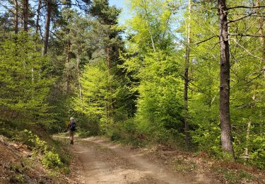
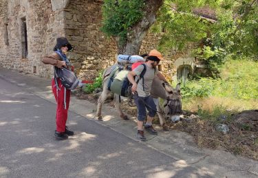
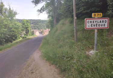
16.1 km | 22 km-effort
#2 GR70 Fauzilhac - Luc
magalette
User
Length
14.9 km
Max alt
1249 m
Uphill gradient
349 m
Km-Effort
20 km
Min alt
1045 m
Downhill gradient
519 m
Boucle
No
Creation date :
2014-12-10 00:00:00.0
Updated on :
2014-12-10 00:00:00.0
4h10
Difficulty : Medium
FREE GPS app for hiking
About
Trail Walking of 14.9 km to be discovered at Occitania, Lozère, Chaudeyrac. This trail is proposed by magalette.
Description
Notre deuxième étape sur les traces de Stevenson entre Fauzilhac et Luc.
Positioning
Country:
France
Region :
Occitania
Department/Province :
Lozère
Municipality :
Chaudeyrac
Location:
Unknown
Start:(Dec)
Start:(UTM)
562491 ; 4945877 (31T) N.
Comments
Trails nearby
La haute vallee du Langouyrou par Cheylard_l'Eveque
Walking
Medium
Cheylard-l'Évêque,
Occitania,
Lozère,
France
22 km | 29 km-effort
7h 22min
Yes
Les hauts de cheylard /Bastide puy Laurent
Walking
Medium
Cheylard-l'Évêque,
Occitania,
Lozère,
France
24 km | 32 km-effort
6h 11min
No
La Bastide
Walking
Very difficult
Cheylard-l'Évêque,
Occitania,
Lozère,
France
26 km | 36 km-effort
7h 29min
No
le chélard
Walking
Difficult
Saint-Flour-de-Mercoire,
Occitania,
Lozère,
France
11 km | 14.9 km-effort
3h 6min
No
Le Cheylard la Veyrune
Walking
Difficult
(1)
Cheylard-l'Évêque,
Occitania,
Lozère,
France
16.4 km | 22 km-effort
5h 49min
No
L’Herm Notre dame des neiges
Walking
Very difficult
Saint-Flour-de-Mercoire,
Occitania,
Lozère,
France
34 km | 46 km-effort
8h 51min
No
Le Cheylard - Chasseradès
Mountain bike
Very difficult
(1)
Cheylard-l'Évêque,
Occitania,
Lozère,
France
41 km | 56 km-effort
3h 37min
No
Fouzilhac- La Bastide Puylaurent Stevenson
Walking
Medium
Chaudeyrac,
Occitania,
Lozère,
France
24 km | 31 km-effort
6h 35min
No