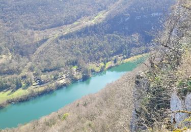
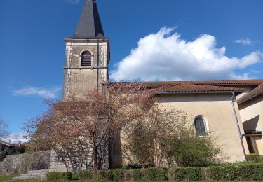
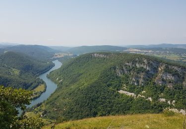
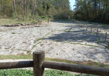
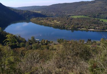
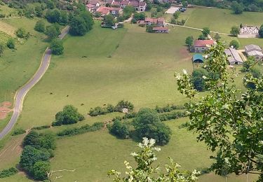
12.6 km | 16.4 km-effort
Romaneche 2
SuperGillou
User
Length
3.6 km
Max alt
424 m
Uphill gradient
77 m
Km-Effort
4.7 km
Min alt
323 m
Downhill gradient
119 m
Boucle
No
Creation date :
2014-12-10 00:00:00.0
Updated on :
2014-12-10 00:00:00.0
1h29
Difficulty : Unknown
FREE GPS app for hiking
About
Trail Walking of 3.6 km to be discovered at Auvergne-Rhône-Alpes, Ain, Hautecourt-Romanèche. This trail is proposed by SuperGillou.
Positioning
Country:
France
Region :
Auvergne-Rhône-Alpes
Department/Province :
Ain
Municipality :
Hautecourt-Romanèche
Location:
Unknown
Start:(Dec)
Start:(UTM)
688579 ; 5116454 (31T) N.
Comments
Trails nearby
romaneche
Walking
Very difficult
Hautecourt-Romanèche,
Auvergne-Rhône-Alpes,
Ain,
France
13 km | 19.2 km-effort
5h 20min
Yes
2023-07-08_15h37m22_Romanèche MR projet 2023
sport
Very easy
(1)
Hautecourt-Romanèche,
Auvergne-Rhône-Alpes,
Ain,
France
10.8 km | 15.7 km-effort
Unknown
Yes
les crêtes du jardonnet de grand corrent
Walking
Easy
Grand-Corent,
Auvergne-Rhône-Alpes,
Ain,
France
10.1 km | 15.5 km-effort
4h 42min
Yes
Napt-mont Balvay
Walking
Medium
Sonthonnax-la-Montagne,
Auvergne-Rhône-Alpes,
Ain,
France
12.8 km | 20 km-effort
3h 51min
Yes
romaneche
Walking
Very difficult
Hautecourt-Romanèche,
Auvergne-Rhône-Alpes,
Ain,
France
16 km | 23 km-effort
4h 5min
Yes
Serrières Leyssard
Walking
Difficult
Serrières-sur-Ain,
Auvergne-Rhône-Alpes,
Ain,
France
16.6 km | 26 km-effort
4h 2min
Yes
Cize Roche de Jarbonnet Romaneche Grand corent
Walking
Easy
Cize,
Auvergne-Rhône-Alpes,
Ain,
France
8.6 km | 13.2 km-effort
1h 55min
Yes
Hautecourt Arthurieux
Walking
Medium
Hautecourt-Romanèche,
Auvergne-Rhône-Alpes,
Ain,
France
15.4 km | 21 km-effort
4h 17min
Yes