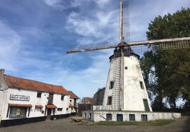
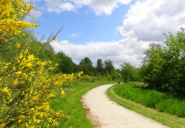
Trail Mountain bike Gembloux - VTT Sauvenière - Photo

VTT Sauvenière

© OpenStreetMap contributors
Length
Length
25 km
Max alt
Max alt
183 m
Uphill gradient
Uphill gradient
206 m
Km-Effort
Km-Effort  
27 km
Min alt
Min alt
143 m
Downhill gradient
Downhill gradient
207 m
Boucle
Boucle
Yes
Creation date :
2014-12-10 00:00:00.0
Updated on :
2014-12-10 00:00:00.0

(0 Reviews)

Mountain bike
Mountain bike
--
Difficulty : Easy

Scan this QR Code to open this trail in the SityTrail application

FREE GPS app for hiking

Logo SityTrail SityTrail

IGN / Geographical institutes

Download SityTrail from the App Store Download SityTrail from Google Play

Logo SityTrail SityTrail World

The world is yours!

Download SityTrail from the App Store Download SityTrail from Google Play Download SityTrail on Huawei AppGallery

About

Trail Mountain bike of 25 km to be discovered at Wallonia, Namur, Gembloux. This trail is proposed by thibhendrick.

Description

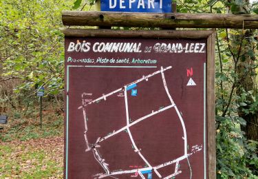
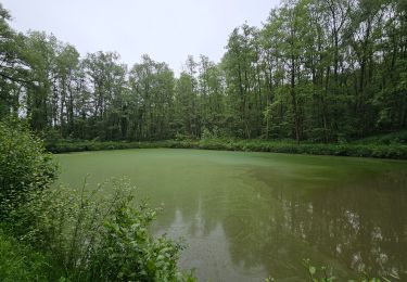
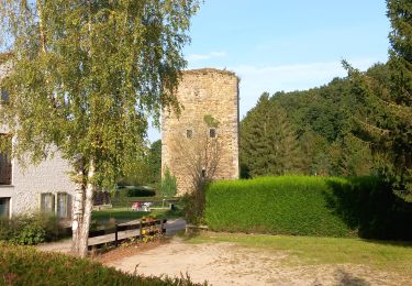
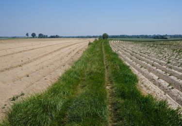
Ce circuit de 25 km, proposé par Monsieur Jean-Benoit MATHIEU, vous balade dans les campagnes de Gembloux. A faire avec un GPS par manque de panneaux.Ce circuit emprunte une partie du Ravel et chaussée romaine.A hauteur de Perwez, vous passez au pied de quelques éoliennes décorées de drapeaux européens.Lors du retour, vous arrivez au village de Grand-Leez pour passer à proximité de son étang où l'on peut croiser des pêcheurs. Ensuite, dans le village, vous passerez au pied d'un moulin à vent dit Defrenne qui est toujours en activité.En quittant le village, sillonez entre champs et cultures de l'Agrobiopôle Wallon qu'est Gembloux grâce à sa Faculté d'Agronomie.

Elevation profile

Points of interest

Point of interest Gembloux - Départ place du sablon - Photo
thibhendrick

Positioning

Country:
Belgium
Region :
Wallonia
Department/Province :
Namur
Municipality :
Gembloux
Location:
Sauvenière
Start:(UTM)
622163 ; 5604725 (31U) N.

Trails nearby

Trail Mountain bike La Bruyère - Meux 09-09-12 - Photo
Mountain bike
Nagor19

Mountain bike

Medium
(5)
La Bruyère, Wallonia, Namur, Belgium
32 km | 36 km-effort
2h 50min
Yes
Trail Walking Gembloux - Promenade du bois de Grand-Leez et son étang  - Photo
Walking
GUIDE+

Walking

Easy
(2)
Gembloux, Wallonia, Namur, Belgium
3.1 km | 3.6 km-effort
49min
Yes
Trail Walking Gembloux - Balade de Gembloux à Corroy-le-Château - Photo
Walking
GUIDE
Desrumaux

Walking

Difficult
Gembloux, Wallonia, Namur, Belgium
13.2 km | 15.3 km-effort
3h 28min
Yes
Trail Walking Gembloux - SityTrail - Chastre - Perwez GR127 - Photo
Walking
GUIDE
Charles Lemaire

Walking

Very difficult
Gembloux, Wallonia, Namur, Belgium
30 km | 33 km-effort
7h 28min
No
Trail Walking Gembloux - bgg - ernage bertinchamps gentines chastre perbais - Photo
Walking
GUIDE
Charles Lemaire

Walking

Difficult
Gembloux, Wallonia, Namur, Belgium
22 km | 24 km-effort
4h 36min
Yes
Trail Walking Gembloux - covid 17-4-20 12 km - Photo
Walking
dridri002

Walking

Very easy
(1)
Gembloux, Wallonia, Namur, Belgium
12.8 km | 14.2 km-effort
2h 18min
Yes
Trail Walking Gembloux - Balade à Grand Leez - Photo
Walking
GUIDE
Desrumaux

Walking

Easy
(1)
Gembloux, Wallonia, Namur, Belgium
10.3 km | 11.6 km-effort
2h 33min
Yes
Trail Walking Gembloux - Balade à Gembloux - Photo
Walking
GUIDE
Desrumaux

Walking

Very easy
(2)
Gembloux, Wallonia, Namur, Belgium
10.5 km | 11.9 km-effort
2h 38min
Yes
Trail Walking Gembloux - gembloux - Photo
Walking
cello1954

Walking

Very easy
(1)
Gembloux, Wallonia, Namur, Belgium
7.5 km | 8.4 km-effort
2h 24min
No


Close
My subscriptions