39 km | 43 km-effort
04-Marchenoir - Villermain
SERUS
User
Length
20 km
Max alt
158 m
Uphill gradient
97 m
Km-Effort
22 km
Min alt
116 m
Downhill gradient
107 m
Boucle
No
Creation date :
2019-05-19 20:39:14.776
Updated on :
2019-05-19 20:39:14.849
--
Difficulty : Easy
FREE GPS app for hiking
About
Trail Walking of 20 km to be discovered at Centre-Loire Valley, Loir-et-Cher, Marchenoir. This trail is proposed by SERUS.
Description
Chemin de Vendome à Orléans par Oucques
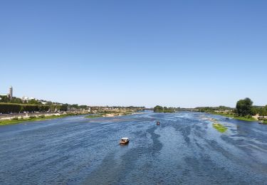
Positioning
Country:
France
Region :
Centre-Loire Valley
Department/Province :
Loir-et-Cher
Municipality :
Marchenoir
Location:
Unknown
Start:(Dec)
Start:(UTM)
380092 ; 5297842 (31T) N.
Comments
Trails nearby
Itinéraire 12 - Au fil de Loire
Road bike
Very difficult
(1)
Muides-sur-Loire,
Centre-Loire Valley,
Loir-et-Cher,
France
2h 36min
Yes
Fréteval - Champs Bois Grotte Étang
Walking
Medium
Fréteval,
Centre-Loire Valley,
Loir-et-Cher,
France
11 km | 12.4 km-effort
2h 49min
Yes
La Chapelle-Enchérie - Bois de Bricsard
Walking
Easy
La Chapelle-Enchérie,
Centre-Loire Valley,
Loir-et-Cher,
France
9.1 km | 10.9 km-effort
2h 20min
Yes
Parc de Chambord et ses postes d'observation
Walking
Easy
(1)
Chambord,
Centre-Loire Valley,
Loir-et-Cher,
France
20 km | 22 km-effort
5h 3min
Yes
Lignières - Autour de Rocheux
Walking
Easy
Lignières,
Centre-Loire Valley,
Loir-et-Cher,
France
10.8 km | 12 km-effort
3h 10min
Yes
Travers 45
Walking
Very easy
Tavers,
Centre-Loire Valley,
Loiret,
France
11.3 km | 12.5 km-effort
2h 27min
No
Coulommiers-la-Tour
Walking
Medium
Coulommiers-la-Tour,
Centre-Loire Valley,
Loir-et-Cher,
France
9.4 km | 11 km-effort
2h 29min
Yes
Fréteval - Etang Champs Bois Donjon
Walking
Medium
Fréteval,
Centre-Loire Valley,
Loir-et-Cher,
France
10.8 km | 12.5 km-effort
2h 50min
Yes
Renay - Champs Bois Chapelle Eglise
Walking
Medium
Renay,
Centre-Loire Valley,
Loir-et-Cher,
France
13.8 km | 15.8 km-effort
3h 35min
Yes