


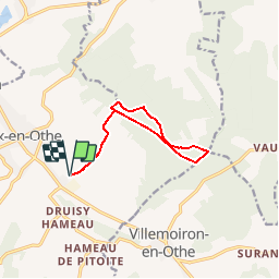


16.1 km | 19.8 km-effort

User


FREE GPS app for hiking
 SityTrail
IGN / Geographical institutes
SityTrail World
The world is yours!
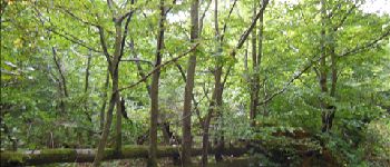
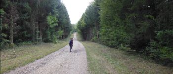
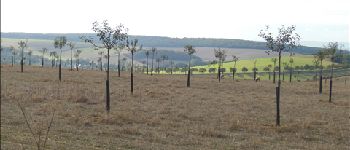
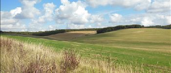
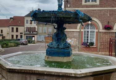
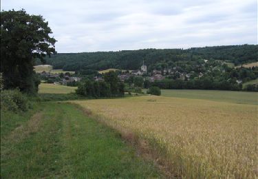
Trail Walking of 9.8 km to be discovered at Grand Est, Aube, Aix-Villemaur-Pâlis. This trail is proposed by Daneel-89.
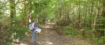
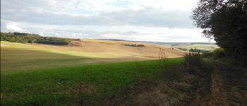
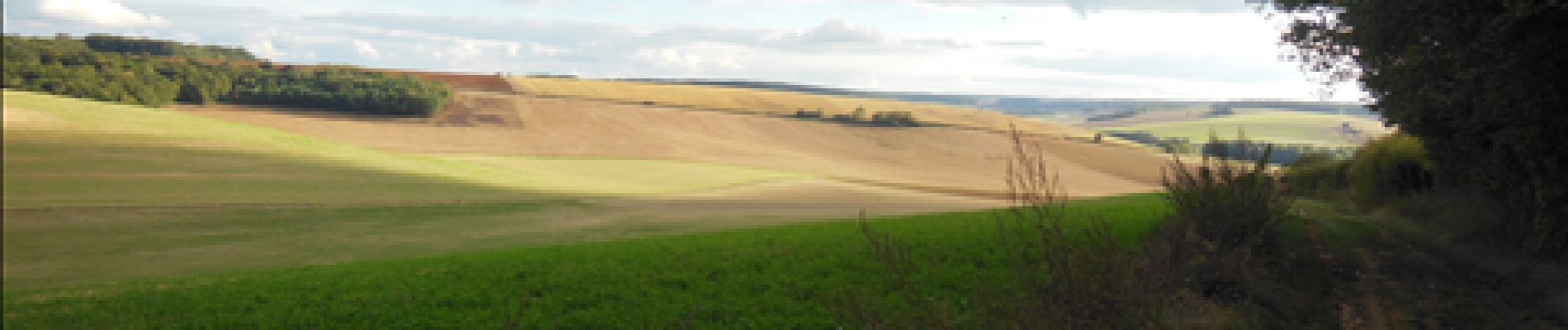
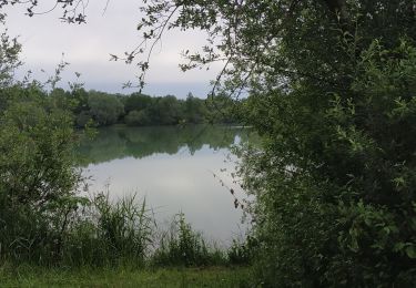
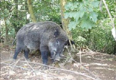
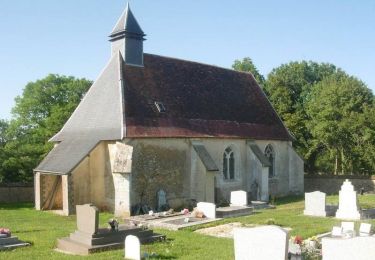
Balade agréable en partie sur le GR de St.Jacques de Compostelle.
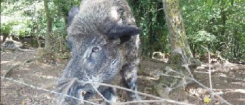
Belles allées, réserve à sangliers, ...


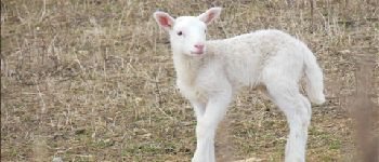
32 photos in total. Please click on a photo to see them all in the gallery.

Walking
Walking

On foot
Walking
Walking
Walking
Walking

Cycle
Cycle