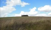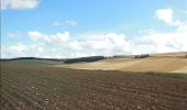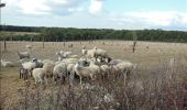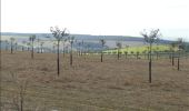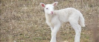

La Vove - Bois de la Brosse

Daneel-89
User

Length
9.8 km

Max alt
245 m

Uphill gradient
153 m

Km-Effort
11.9 km

Min alt
150 m

Downhill gradient
153 m
Boucle
Yes
Creation date :
2014-12-10 00:00:00.0
Updated on :
2014-12-10 00:00:00.0
3h00
Difficulty : Easy

FREE GPS app for hiking
About
Trail Walking of 9.8 km to be discovered at Grand Est, Aube, Aix-Villemaur-Pâlis. This trail is proposed by Daneel-89.
Description
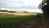
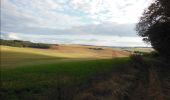
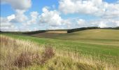
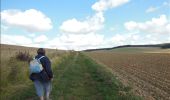
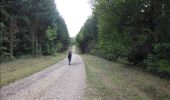
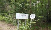
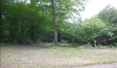
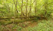
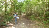
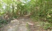
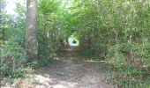
Balade agréable en partie sur le GR de St.Jacques de Compostelle.
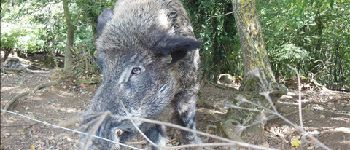
Belles allées, réserve à sangliers, ...
Points of interest
Positioning
Country:
France
Region :
Grand Est
Department/Province :
Aube
Municipality :
Aix-Villemaur-Pâlis
Location:
Aix-en-Othe
Start:(Dec)
Start:(UTM)
555593 ; 5340442 (31U) N.
Comments
Trails nearby

De place en place - Saint Mards en Othe


Walking
Difficult
(1)
Saint-Mards-en-Othe,
Grand Est,
Aube,
France

16.1 km | 19.8 km-effort
4h 0min
Yes
Saint-Mards en Othe 240609


Walking
Easy
Saint-Mards-en-Othe,
Grand Est,
Aube,
France

9.4 km | 11.8 km-effort
2h 37min
Yes

Aix en Othe-Vaujurennes


On foot
Medium
(1)
Aix-Villemaur-Pâlis,
Grand Est,
Aube,
France

11 km | 13.7 km-effort
2h 30min
Yes
Bois des Brosses


Walking
Easy
Aix-Villemaur-Pâlis,
Grand Est,
Aube,
France

7.7 km | 8.9 km-effort
2h 5min
Yes
Villemaur sur Vanne


Walking
Very easy
Aix-Villemaur-Pâlis,
Grand Est,
Aube,
France

9.8 km | 11.7 km-effort
2h 37min
Yes
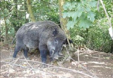
La Vove - Aix en Othe


Walking
Medium
(1)
Aix-Villemaur-Pâlis,
Grand Est,
Aube,
France

10.2 km | 12.3 km-effort
2h 30min
Yes
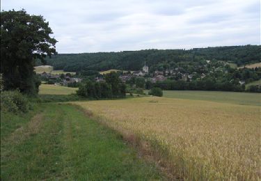
Vaujurennes - Bérulle (Boucle) 2011


Walking
Easy
Paisy-Cosdon,
Grand Est,
Aube,
France

12.9 km | 15.2 km-effort
4h 0min
Yes

Circuit de Villemoiron en Othe


Cycle
Easy
Villemoiron-en-Othe,
Grand Est,
Aube,
France

33 km | 39 km-effort
1h 45min
Yes
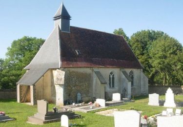
Circuit de Saint-Mards-en-Othe


Cycle
Easy
Saint-Mards-en-Othe,
Grand Est,
Aube,
France

26 km | 31 km-effort
1h 30min
Yes


 SityTrail


