


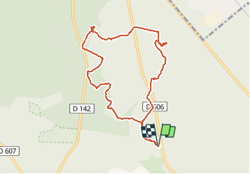

18 km | 22 km-effort

User


FREE GPS app for hiking
 SityTrail
IGN / Geographical institutes
SityTrail World
The world is yours!
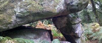
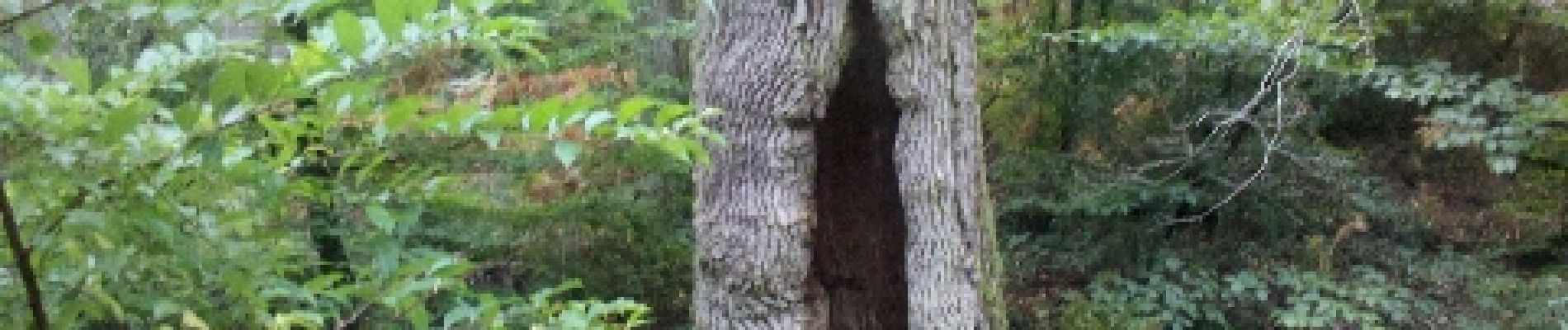
Trail Walking of 9.8 km to be discovered at Ile-de-France, Seine-et-Marne, Fontainebleau. This trail is proposed by randodan.
Les Gais Lurons du Mercredi . 26 septembre 2012 matin . Départ parking Cabaret Masson .
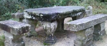
Denecourt 12, Table Gd Maître, Petit Mont, Butte Saint-Louis .
6 participants .
Pique-nique Cabaret Masson mais à 3 seulement .


Walking

Walking

Walking

Walking

Walking

Walking

Walking

On foot
Walking