3.8 km | 5.5 km-effort
Cadieres de Brandis
patrando49
User
Length
7.5 km
Max alt
1558 m
Uphill gradient
423 m
Km-Effort
13.1 km
Min alt
1138 m
Downhill gradient
423 m
Boucle
Yes
Creation date :
2014-12-10 00:00:00.0
Updated on :
2014-12-10 00:00:00.0
3h00
Difficulty : Medium
FREE GPS app for hiking
About
Trail Walking of 7.5 km to be discovered at Provence-Alpes-Côte d'Azur, Alpes-de-Haute-Provence, Castellane. This trail is proposed by patrando49.
Description
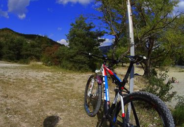
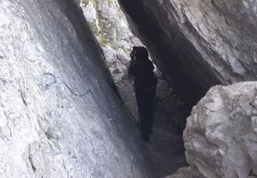
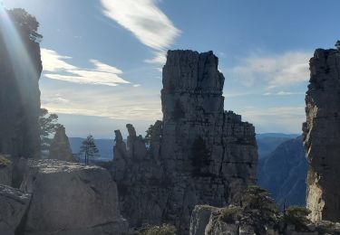
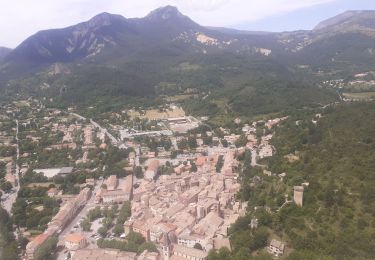
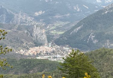
Les Cadieres de Brandis au depart du col des Leques
Positioning
Country:
France
Region :
Provence-Alpes-Côte d'Azur
Department/Province :
Alpes-de-Haute-Provence
Municipality :
Castellane
Location:
Unknown
Start:(Dec)
Start:(UTM)
296211 ; 4860050 (32T) N.
Comments
Trails nearby
Sentier des Siréniens
Walking
Very easy
(1)
Castellane,
Provence-Alpes-Côte d'Azur,
Alpes-de-Haute-Provence,
France
1h 9min
Yes
cadiere de brandis
Walking
Very easy
(1)
Castellane,
Provence-Alpes-Côte d'Azur,
Alpes-de-Haute-Provence,
France
8.9 km | 14.6 km-effort
2h 27min
No
vtt-de-castellane-au-lac-de-castillon
Mountain bike
Very easy
Castellane,
Provence-Alpes-Côte d'Azur,
Alpes-de-Haute-Provence,
France
14.7 km | 19.5 km-effort
Unknown
Yes
Cadières de Brandis
Walking
Medium
(1)
Castellane,
Provence-Alpes-Côte d'Azur,
Alpes-de-Haute-Provence,
France
10.7 km | 18.4 km-effort
3h 51min
Yes
castellane
Walking
Medium
Castellane,
Provence-Alpes-Côte d'Azur,
Alpes-de-Haute-Provence,
France
4.7 km | 8 km-effort
1h 26min
Yes
La Colle : Cadières de Brandis
Walking
Difficult
Castellane,
Provence-Alpes-Côte d'Azur,
Alpes-de-Haute-Provence,
France
17.5 km | 30 km-effort
6h 54min
Yes
robion castellane 1226m 15k
Walking
Very difficult
Castellane,
Provence-Alpes-Côte d'Azur,
Alpes-de-Haute-Provence,
France
13.9 km | 27 km-effort
7h 50min
Yes
2023-10-27 Sommet de Destourbes
Walking
Difficult
Castellane,
Provence-Alpes-Côte d'Azur,
Alpes-de-Haute-Provence,
France
13.6 km | 24 km-effort
5h 33min
Yes
Clot d'Aremus - Chasteuil - Chapelle St Jean - Castellane
Walking
Easy
Castellane,
Provence-Alpes-Côte d'Azur,
Alpes-de-Haute-Provence,
France
14.3 km | 19.8 km-effort
3h 54min
No
Très bon logiciel pour nous guider dans les randonnées. Un seul gros énorme défaut le calcul des dénivelés à corriger rapidement. Cordialement
Bon logiciel. Satisfait mais il reste un point très très ennuyeux le calcul du dénivelé qui est complètement aberrant. Il faut absolument régler ce problème dans la prochaine version très rapidement.J'ai un IPhone