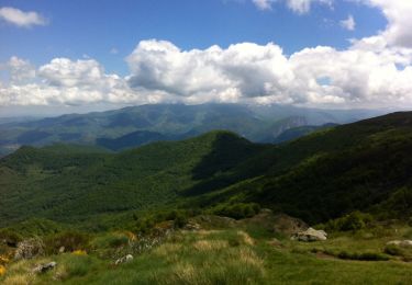
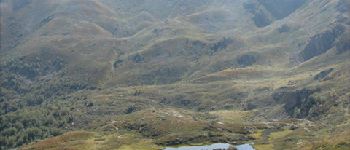
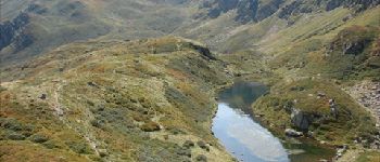
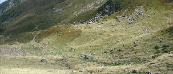
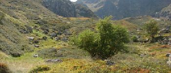
Trail Walking Rabat-les-Trois-Seigneurs - Pyrénées-120910 - EtangBleu - Photo

Pyrénées-120910 - EtangBleu

 randodan
randodan

User

© OpenStreetMap contributors
Length
Length
11.9 km
Max alt
Max alt
1814 m
Uphill gradient
Uphill gradient
802 m
Km-Effort
Km-Effort  
23 km
Min alt
Min alt
1035 m
Downhill gradient
Downhill gradient
802 m
Boucle
Boucle
Yes
Creation date :
2014-12-10 00:00:00.0
Updated on :
2014-12-10 00:00:00.0

(1 Reviews)

Walking
Walking
7h45
Difficulty : Medium

Scan this QR Code to open this trail in the SityTrail application

FREE GPS app for hiking

Logo SityTrail SityTrail
IGN / Geographical institutes

Download SityTrail from the App Store Download SityTrail from Google Play

Logo SityTrail SityTrail World
The world is yours!

Download SityTrail from the App Store Download SityTrail from Google Play Download SityTrail on Huawei AppGallery

About

Trail Walking of 11.9 km to be discovered at Occitania, Ariège, Rabat-les-Trois-Seigneurs. This trail is proposed by randodan.

Description

2012 - Camp de base : Vicdessos - 10 sep -<br>
L´Étang Bleu des 3 Seigneurs (boucle).<br>
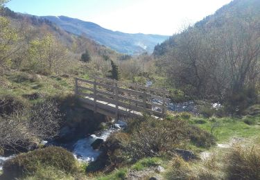
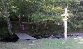
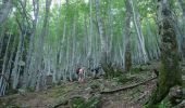
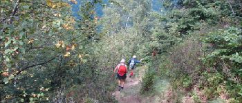
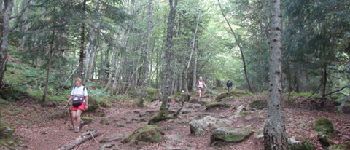
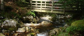
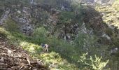
Départ parking terminal de la D223 (1022 m) 9h15 . Dans la clairière d´Embanels, aujourd’hui (lundi), y a plus personne . 10h, 1180 m, à la passerelle, cette fois on prends le bon sentier ;o).<br>
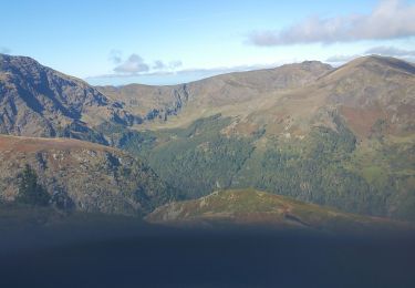
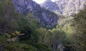
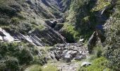
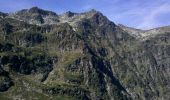
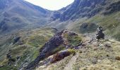
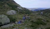
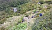
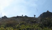
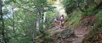
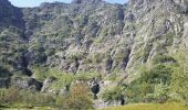
11h, 1460 m, après une raide grimpette en sous-bois suivie d´une approche découverte, débouchons au pied des vertigineuses falaises du Cirque d´Embans . S´en suit une autre grimpette qui nous mène sur la crête calcinée (récemment) d´une moraine à 1822 m.<br>
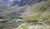
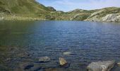
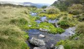
1/4h plus tard, midi et demi, nous arrivons enfin à l’Étang Bleu <i>(Blaou de son ancien nom)</i>, 1785 m, pour le pique-nique . Mais de "Bleu", il n´en a que le nom !<br>
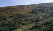
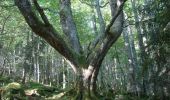
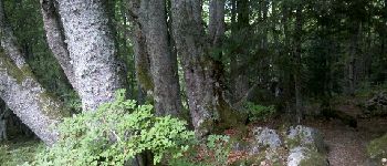
14h15, rechaussés, on redescend par la Jasse de l’Étang Bleu et le Bois Debès du Ressec . Au passage, il y aura bien sûr des myrtilles ! 17h à la voiture.<br>
D JL Mir Dan.

Elevation profile

Photos

30 photos in total. Please click on a photo to see them all in the gallery.

Points of interest

Point of interest Rabat-les-Trois-Seigneurs - 01 - Montée à l'Étang Bleu - Photo
randodan
RABAT-LES-TROIS-SEIGNEURS 
Point of interest Rabat-les-Trois-Seigneurs - 02 - Montée à l'Étang Bleu - Photo
randodan
RABAT-LES-TROIS-SEIGNEURS 
Point of interest Rabat-les-Trois-Seigneurs - 03 - Montée à l'Étang Bleu - Photo
randodan
RABAT-LES-TROIS-SEIGNEURS 
Point of interest Rabat-les-Trois-Seigneurs - 06 - Montée à l'Étang Bleu - Photo
randodan
RABAT-LES-TROIS-SEIGNEURS 
Point of interest Rabat-les-Trois-Seigneurs - 07 - Montée à l'Étang Bleu - Photo
randodan
RABAT-LES-TROIS-SEIGNEURS 
Point of interest Rabat-les-Trois-Seigneurs - 09 - Montée à l'Étang Bleu - Photo
randodan
RABAT-LES-TROIS-SEIGNEURS 
Point of interest Rabat-les-Trois-Seigneurs - 10 - Montée à l'Étang Bleu - Photo
randodan
RABAT-LES-TROIS-SEIGNEURS 
Point of interest Rabat-les-Trois-Seigneurs - 12 - Montée à l'Étang Bleu - Photo
randodan
RABAT-LES-TROIS-SEIGNEURS 
Point of interest Rabat-les-Trois-Seigneurs - 12bis - Montée à l'Étang Bleu - Photo
randodan
RABAT-LES-TROIS-SEIGNEURS 
Point of interest Rabat-les-Trois-Seigneurs - 12ter - Montée à l'Étang Bleu - Photo
randodan
RABAT-LES-TROIS-SEIGNEURS 
Point of interest Rabat-les-Trois-Seigneurs - 14 - Montée à l'Étang Bleu - Photo
randodan
RABAT-LES-TROIS-SEIGNEURS 
Point of interest Rabat-les-Trois-Seigneurs - 16 - A l'Étang Bleu	 - Photo
randodan
RABAT-LES-TROIS-SEIGNEURS 
Point of interest Rabat-les-Trois-Seigneurs - 17 - A l'Étang Bleu - Photo
randodan
RABAT-LES-TROIS-SEIGNEURS 
Point of interest Rabat-les-Trois-Seigneurs - 18 - Descente de l'Étang Bleu - Photo
randodan
RABAT-LES-TROIS-SEIGNEURS 
Point of interest Rabat-les-Trois-Seigneurs - 20 - Descente de l'Étang Bleu - Photo
randodan
RABAT-LES-TROIS-SEIGNEURS 
Point of interest Rabat-les-Trois-Seigneurs - 22 - Descente de l'Étang Bleu - Photo
randodan
RABAT-LES-TROIS-SEIGNEURS 
Point of interest Rabat-les-Trois-Seigneurs - 24bis - Descente de l'Étang Bleu - Photo
randodan
RABAT-LES-TROIS-SEIGNEURS 
Point of interest Rabat-les-Trois-Seigneurs - 04 - Montée à l'Étang Bleu - Photo
randodan
RABAT-LES-TROIS-SEIGNEURS 
Point of interest Rabat-les-Trois-Seigneurs - 05 - Montée à l'Étang Bleu - Photo
randodan
RABAT-LES-TROIS-SEIGNEURS 
Point of interest Rabat-les-Trois-Seigneurs - 08 - Montée à l'Étang Bleu - Photo
randodan
RABAT-LES-TROIS-SEIGNEURS 
Point of interest Rabat-les-Trois-Seigneurs - 11 - Montée à l'Étang Bleu - Photo
randodan
RABAT-LES-TROIS-SEIGNEURS 
Point of interest Rabat-les-Trois-Seigneurs - 13 - Montée à l'Étang Bleu - Photo
randodan
RABAT-LES-TROIS-SEIGNEURS 
Point of interest Rabat-les-Trois-Seigneurs - 15 - Montée à l'Étang Bleu - Photo
randodan
RABAT-LES-TROIS-SEIGNEURS 
Point of interest Rabat-les-Trois-Seigneurs - 19 - Descente de l'Étang Bleu - Photo
randodan
RABAT-LES-TROIS-SEIGNEURS 
Point of interest Rabat-les-Trois-Seigneurs - 21 - Descente de l'Étang Bleu - Photo
randodan
RABAT-LES-TROIS-SEIGNEURS 
Point of interest Rabat-les-Trois-Seigneurs - 23 - Descente de l'Étang Bleu - Photo
randodan
RABAT-LES-TROIS-SEIGNEURS 
Point of interest Rabat-les-Trois-Seigneurs - 24 - Descente de l'Étang Bleu - Photo
randodan
RABAT-LES-TROIS-SEIGNEURS 
Point of interest Rabat-les-Trois-Seigneurs - 25 - Descente de l'Étang Bleu - Photo
randodan
RABAT-LES-TROIS-SEIGNEURS 
Point of interest Rabat-les-Trois-Seigneurs - 26 - Descente de l'Étang Bleu - Photo
randodan
RABAT-LES-TROIS-SEIGNEURS 
Point of interest Rabat-les-Trois-Seigneurs - 27 - Descente de l'Étang Bleu	 - Photo
randodan
RABAT-LES-TROIS-SEIGNEURS 

Positioning

Country:
France
Region :
Occitania
Department/Province :
Ariège
Municipality :
Rabat-les-Trois-Seigneurs
Location:
Unknown
Start:(UTM)
376213 ; 4744196 (31T) N.

Comments

Please log in to post a review or rate the element


Trails nearby

Trail Walking Gourbit - 04/06/2014 Rando Etang d'Artax - Photo
Walking
chrisbal

Walking

Difficult
(1)
Gourbit, Occitania, Ariège, France
10.8 km | 24 km-effort
2h 53min
Yes
Trail Walking Rabat-les-Trois-Seigneurs - Cirque D'Embans - Photo
Walking
minakara

Walking

Medium
(2)
Rabat-les-Trois-Seigneurs, Occitania, Ariège, France
8.8 km | 18.4 km-effort
3h 52min
Yes
Trail On foot Gourbit - Étang d'Artax - Photo
On foot
GUIDE+

On foot

Easy
Gourbit, Occitania, Ariège, France
4.3 km | 12.3 km-effort
2h 47min
No
Trail Walking Rabat-les-Trois-Seigneurs - pic du Pioulou en boucle  - Photo
Walking
chrisgps

Walking

Difficult
Rabat-les-Trois-Seigneurs, Occitania, Ariège, France
15.7 km | 32 km-effort
6h 45min
No
Trail Walking Gourbit - Gourbit- rochers Carlong - Photo
Walking
pidjam

Walking

Medium
Gourbit, Occitania, Ariège, France
11.1 km | 19.7 km-effort
4h 15min
Yes
Trail Walking Gourbit - 22/04/2017 Rando Etang d'Artax - Photo
Walking
chrisbal

Walking

Difficult
(1)
Gourbit, Occitania, Ariège, France
12.2 km | 25 km-effort
5h 4min
Yes
Trail Walking Saurat - balade sauratoise - Photo
Walking
bellouelo46

Walking

Medium
Saurat, Occitania, Ariège, France
11.3 km | 19.4 km-effort
3h 46min
Yes
Trail Walking Rabat-les-Trois-Seigneurs - Le Pic des Trois Seigneurs par l'étang bleu - La Freyte - Photo
Walking
tracegps

Walking

Very difficult
Rabat-les-Trois-Seigneurs, Occitania, Ariège, France
16.8 km | 34 km-effort
7h 0min
Yes
Trail Walking Gourbit - Le Roc de Querquéou (Etang d'Artax - col de Lastrix) - Photo
Walking
tracegps

Walking

Very difficult
(1)
Gourbit, Occitania, Ariège, France
10.3 km | 23 km-effort
5h 19min
Yes


Close
My subscriptions