Trail Walking Auzat - Pyrénées-120908 - Fourcat.3-Retour - Photo

Pyrénées-120908 - Fourcat.3-Retour

 randodan
randodan

User

© OpenStreetMap contributors
Length
Length
7.1 km
Max alt
Max alt
2653 m
Uphill gradient
Uphill gradient
315 m
Km-Effort
Km-Effort  
14.2 km
Min alt
Min alt
1560 m
Downhill gradient
Downhill gradient
1180 m
Boucle
Boucle
No
Creation date :
2014-12-10 00:00:00.0
Updated on :
2014-12-10 00:00:00.0

(0 Reviews)

Walking
Walking
2h30
Difficulty : Difficult

Scan this QR Code to open this trail in the SityTrail application

FREE GPS app for hiking

Logo SityTrail SityTrail

IGN / Geographical institutes

Download SityTrail from the App Store Download SityTrail from Google Play

Logo SityTrail SityTrail World

The world is yours!

Download SityTrail from the App Store Download SityTrail from Google Play Download SityTrail on Huawei AppGallery

About

Trail Walking of 7.1 km to be discovered at Occitania, Ariège, Auzat. This trail is proposed by randodan.

Description

2012 - Camp de base : Vicdessos - 08 sep -<br>
Rando sur 3 jours .<br>
3e jour : retour au parking .<br>
Plus de batterie GPS, j’ai recréé le tracé manuellement à partir de la trace GPS de l’aller . N’ayant donc pas de synchro temporelle, le positionnement des photos sur le circuit est très approximatif.<br>
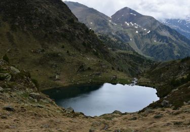
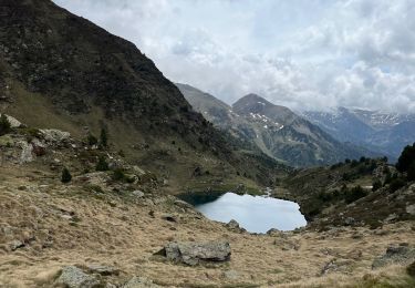
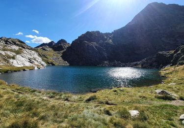
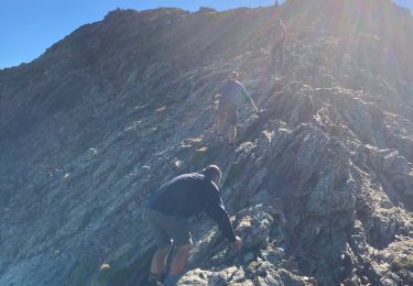
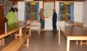
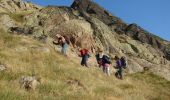
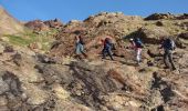
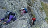
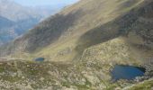
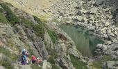
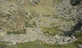
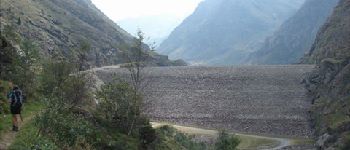
Départ du refuge 8h10, 2445 m, Blandine et Marie-Do nous accompagnent . 9h20 au 1er col, 2610 m ; descente du pierrier puis petite pause avant la remontée . 10h10 au 2e col, 2655 m, redécouvrons l’à-pic sur le 4e étang du Picot, et 10 mn plus tard nous sommes dans les longueurs de câbles.<br>
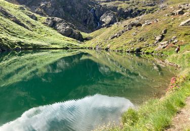
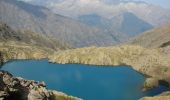
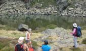
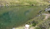
11h20, posons les sacs au 4e étang du Picot pour faire trempette des pieds et pique-niquer.<br>
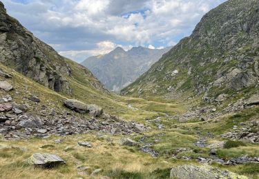
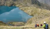
12h30-13h, contournons le 3e étang du Picot . 14h, pause myrtilles au 1er étang du Picot, après quoi reste plus que les 480 m de descente pour arriver à 15h45 à la voiture, 1565 m.<br>
D JL Dan B MDo

Elevation profile

Photos

22 photos in total. Please click on a photo to see them all in the gallery.

Points of interest

Positioning

Country:
France
Region :
Occitania
Department/Province :
Ariège
Municipality :
Auzat
Location:
Unknown
Start:(UTM)
376231 ; 4724716 (31T) N.

Trails nearby

Trail Walking Auzat - Le Picot - Photo
Walking
beautrix

Walking

Difficult
(2)
Auzat, Occitania, Ariège, France
6.3 km | 18.9 km-effort
4h 0min
No
Trail Walking Auzat - Les étangs de la Gardelle - Auzat - Photo
Walking
tracegps

Walking

Difficult
(2)
Auzat, Occitania, Ariège, France
8.3 km | 21 km-effort
6h 0min
Yes
Trail Walking  - 3 lacs d'Estany - Photo
Walking
LtZIP

Walking

Medium
, , , Andorra
4.5 km | 6.7 km-effort
1h 34min
Yes
Trail sport  - Arcalis  - Photo
sport
GUIDE
jouans

sport

Very easy
, , , Andorra
4.9 km | 7.6 km-effort
Unknown
Yes
Trail Walking Auzat - Domaine de Montcalm -port Rat Pic Rouge  - Photo
Walking
altaya

Walking

Very difficult
Auzat, Occitania, Ariège, France
17.1 km | 39 km-effort
10h 8min
Yes
Trail Walking Auzat - Tour des lacs - Sarroucanes - Photo
Walking
altaya

Walking

Very difficult
Auzat, Occitania, Ariège, France
16 km | 0 m-effort
8h 42min
No
Trail Walking Auzat - Caraussans - Photo
Walking
georghinio

Walking

Very difficult
Auzat, Occitania, Ariège, France
19.6 km | 41 km-effort
9h 16min
Yes
Trail Walking Auzat - Boucle etangs de la Gardelle - Photo
Walking
prous31

Walking

Difficult
Auzat, Occitania, Ariège, France
10.9 km | 23 km-effort
4h 45min
Yes
Trail Walking Auzat - Fourcat  - Photo
Walking
georghinio

Walking

Very difficult
Auzat, Occitania, Ariège, France
15.7 km | 31 km-effort
8h 7min
No


Close
My subscriptions