16.7 km | 31 km-effort
tête de Malacoste
ytenag
User
Length
33 km
Max alt
3198 m
Uphill gradient
2603 m
Km-Effort
69 km
Min alt
1524 m
Downhill gradient
2983 m
Boucle
No
Creation date :
2014-12-10 00:00:00.0
Updated on :
2014-12-10 00:00:00.0
8h05
Difficulty : Unknown
FREE GPS app for hiking
About
Trail Walking of 33 km to be discovered at Provence-Alpes-Côte d'Azur, Alpes-de-Haute-Provence, Saint-Paul-sur-Ubaye. This trail is proposed by ytenag.
Positioning
Country:
France
Region :
Provence-Alpes-Côte d'Azur
Department/Province :
Alpes-de-Haute-Provence
Municipality :
Saint-Paul-sur-Ubaye
Location:
Unknown
Start:(Dec)
Start:(UTM)
328621 ; 4939846 (32T) N.
Comments
Trails nearby
05 Tour Font Sancte - étape 3
Walking
Very difficult
(1)
Saint-Paul-sur-Ubaye,
Provence-Alpes-Côte d'Azur,
Alpes-de-Haute-Provence,
France
7h 8min
No
Col de la petite Par. Col Girardin
Other activity
Difficult
Ceillac,
Provence-Alpes-Côte d'Azur,
Hautes-Alpes,
France
13.9 km | 32 km-effort
7h 36min
Yes
Pic Panestrel
Walking
Difficult
(1)
Saint-Paul-sur-Ubaye,
Provence-Alpes-Côte d'Azur,
Alpes-de-Haute-Provence,
France
13 km | 32 km-effort
6h 16min
Yes
Lac Ste Anne et Tête de Girardin
Walking
Medium
Ceillac,
Provence-Alpes-Côte d'Azur,
Hautes-Alpes,
France
14.4 km | 27 km-effort
5h 48min
Yes
lac Sainte Anne
Walking
Easy
(2)
Ceillac,
Provence-Alpes-Côte d'Azur,
Hautes-Alpes,
France
10.7 km | 17.9 km-effort
5h 16min
No
cols Tronchet et Girardin
Walking
Medium
Ceillac,
Provence-Alpes-Côte d'Azur,
Hautes-Alpes,
France
13.8 km | 27 km-effort
7h 56min
Yes
Col des Houerts
Walking
Medium
Saint-Paul-sur-Ubaye,
Provence-Alpes-Côte d'Azur,
Alpes-de-Haute-Provence,
France
14.1 km | 32 km-effort
6h 36min
Yes
lac Saint Anne et Miroir
Walking
Medium
Ceillac,
Provence-Alpes-Côte d'Azur,
Hautes-Alpes,
France
10.9 km | 18.5 km-effort
4h 14min
Yes
PLAN DE PAROUART DEPUIS MALJASSET
Walking
Difficult
Saint-Paul-sur-Ubaye,
Provence-Alpes-Côte d'Azur,
Alpes-de-Haute-Provence,
France
12.1 km | 15.6 km-effort
3h 20min
Yes
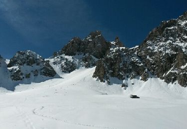
ce guide permet de vous aider a passer plus facilement en hors sentier près du couloir, pour la montée finale vers la Ma Lacoste et finalement pour passer le dernier col.Dommage le trajet est interrompu pendant le retour a Maljasset et les données absentes ou fausses. Manque d'explications.