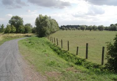
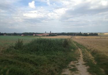
15.2 km | 16.3 km-effort
circuit des deux ponts
christiancampagnie
User
Length
7.1 km
Max alt
23 m
Uphill gradient
21 m
Km-Effort
7.4 km
Min alt
15 m
Downhill gradient
21 m
Boucle
Yes
Creation date :
2014-12-10 00:00:00.0
Updated on :
2014-12-10 00:00:00.0
--
Difficulty : Easy
FREE GPS app for hiking
About
Trail Walking of 7.1 km to be discovered at Hauts-de-France, Nord, Anhiers. This trail is proposed by christiancampagnie.
Positioning
Country:
France
Region :
Hauts-de-France
Department/Province :
Nord
Municipality :
Anhiers
Location:
Unknown
Start:(Dec)
Start:(UTM)
511054 ; 5583920 (31U) N.
Comments
Trails nearby
Circuit des chapelles de Coutiches.
Walking
Difficult
(1)
Coutiches,
Hauts-de-France,
Nord,
France
3h 34min
Yes
Le chemin des Galibots - Sin-Le-Noble.
Mountain bike
Medium
(2)
Sin-le-Noble,
Hauts-de-France,
Nord,
France
35 km | 38 km-effort
3h 0min
Yes
lallaing - la fosse delloye
Mountain bike
Medium
(1)
Lallaing,
Hauts-de-France,
Nord,
France
26 km | 29 km-effort
1h 41min
No
2012-08-17 lallaing 3 cavaliers
Mountain bike
Medium
(1)
Lallaing,
Hauts-de-France,
Nord,
France
44 km | 47 km-effort
2h 50min
No
Roost Warendint : Escarpelle et Paturelle
Walking
Medium
(1)
Roost-Warendin,
Hauts-de-France,
Nord,
France
10.9 km | 12.7 km-effort
2h 47min
Yes
lallaing - circuit de l'elpret
Mountain bike
Medium
(1)
Lallaing,
Hauts-de-France,
Nord,
France
40 km | 43 km-effort
2h 56min
Yes
lallaing - Mons en peveles
Mountain bike
Easy
(1)
Anhiers,
Hauts-de-France,
Nord,
France
27 km | 29 km-effort
1h 32min
No
rando renard
Mountain bike
Very easy
(1)
Anhiers,
Hauts-de-France,
Nord,
France
20 km | 22 km-effort
1h 17min
No
La rando VTT des Renards des Sables - Flines les Raches
Mountain bike
Difficult
Flines-lez-Raches,
Hauts-de-France,
Nord,
France
47 km | 52 km-effort
3h 0min
No