


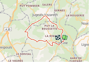


17.7 km | 23 km-effort

User


FREE GPS app for hiking
 SityTrail
IGN / Geographical institutes
SityTrail World
The world is yours!
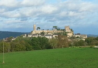
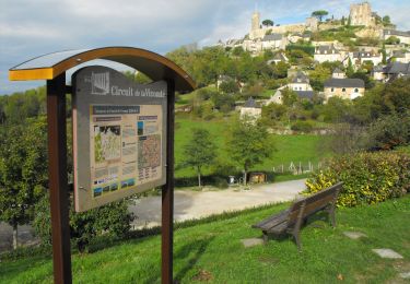
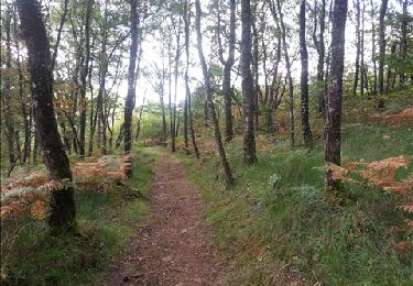
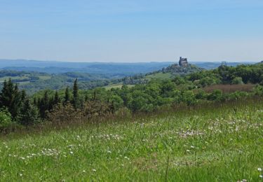
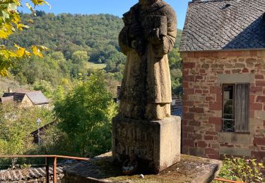
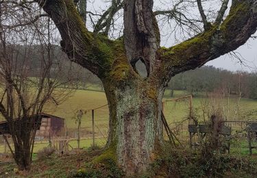
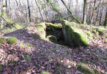
Trail Walking of 14.1 km to be discovered at New Aquitaine, Corrèze, Turenne. This trail is proposed by sdroneau.
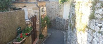
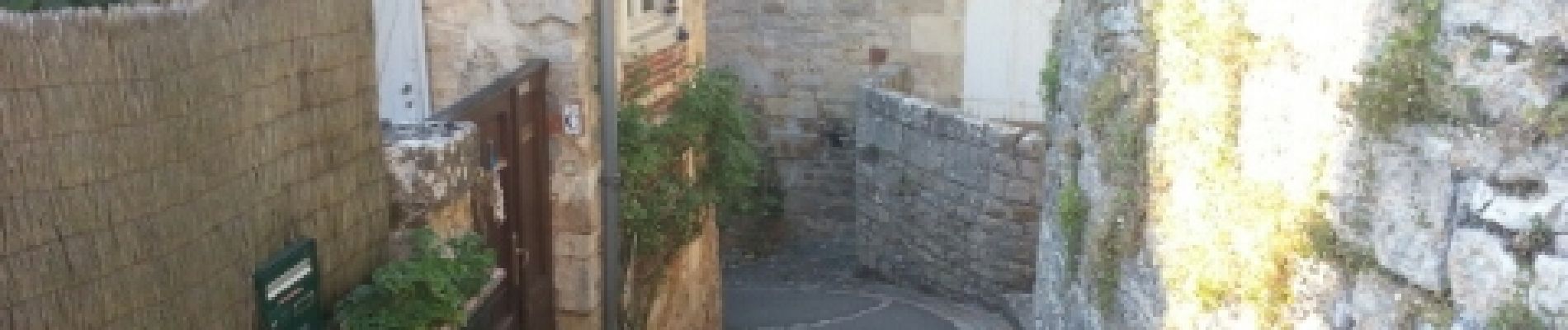
Au départ du village classé de Turenne, cette randonnée vous fera découvrir le causse et ces chemins bordés de pierres sèches. Bonne ballade.

Walking
Mountain bike
Walking
Walking

Walking
Walking
Walking
Walking
Motorbike