9 km | 10.6 km-effort
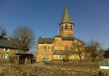
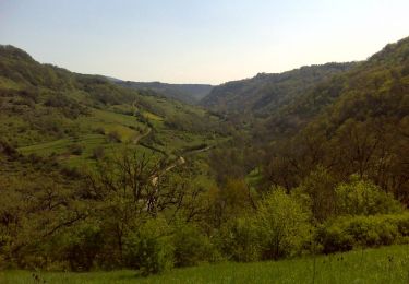
Route de César
bonnetchristian
User
Length
6.7 km
Max alt
693 m
Uphill gradient
124 m
Km-Effort
8.4 km
Min alt
604 m
Downhill gradient
125 m
Boucle
Yes
Creation date :
2014-12-10 00:00:00.0
Updated on :
2014-12-10 00:00:00.0
--
Difficulty : Very easy
FREE GPS app for hiking
About
Trail Mountain bike of 6.7 km to be discovered at Occitania, Aveyron, Bozouls. This trail is proposed by bonnetchristian.
Description
Route de César
Positioning
Country:
France
Region :
Occitania
Department/Province :
Aveyron
Municipality :
Bozouls
Location:
Unknown
Start:(Dec)
Start:(UTM)
476797 ; 4919720 (31T) N.
Comments
Trails nearby
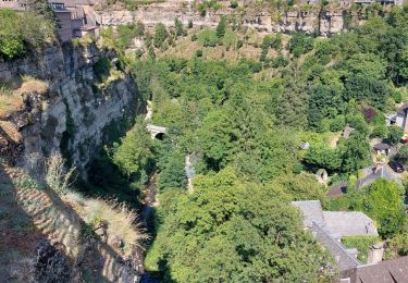
Trou de Bozouls
Walking
Easy
(4)
Bozouls,
Occitania,
Aveyron,
France
14.5 km | 19.9 km-effort
4h 15min
Yes
De Bozouls à Rodelle
On foot
Easy
Bozouls,
Occitania,
Aveyron,
France
10.4 km | 13.6 km-effort
3h 4min
No
Bozoul (Après-midi)
Walking
Easy
Bozouls,
Occitania,
Aveyron,
France
4.8 km | 6.6 km-effort
2h 0min
Yes
BARRIAC / CARCUAC
On foot
Easy
Bozouls,
Occitania,
Aveyron,
France
3.9 km | 4.8 km-effort
1h 0min
Yes
Horizons et Clochers du Rouergue - Gillorgues
Walking
Medium
Bozouls,
Occitania,
Aveyron,
France
11.9 km | 15.5 km-effort
3h 0min
Yes
De Barriac à Rodelle
Walking
Medium
Bozouls,
Occitania,
Aveyron,
France
12.3 km | 16.5 km-effort
3h 15min
Yes
Roquelaure au départ de Bozouls
Mountain bike
Difficult
Bozouls,
Occitania,
Aveyron,
France
33 km | 43 km-effort
4h 19min
Yes