


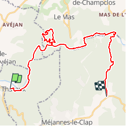

16.9 km | 25 km-effort


User


FREE GPS app for hiking
 SityTrail
IGN / Geographical institutes
SityTrail World
The world is yours!
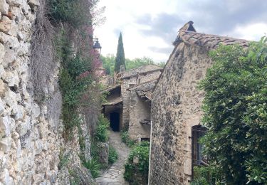
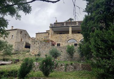
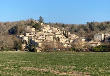
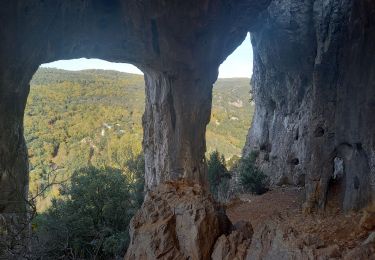
Trail Walking of 17.6 km to be discovered at Occitania, Gard, Tharaux. This trail is proposed by jmheydorff.
Pkg cimetière de Tharaux.une voiture à mettre à Le Clap, pour le retour.
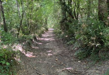
Descente des gorges de la Cèze, de Tharaux au Ranc du Chabrier, en traversant 8 fois la Rivière Cèze.
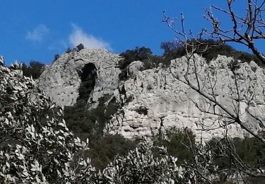
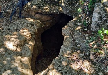
Puis on monte dans le bois des Banquières, voir la baume des Fades (Domen), l'aven de Carquignau
Walking
Walking
Walking

Walking
Walking
Walking
Walking
nul le serveur de carte n'est jamais accessible et le gps perd lá trace même en paramétrage de situation approximative, alors qu'avec d'autres logiciels sur le même appareil tout fonctionne correctement.