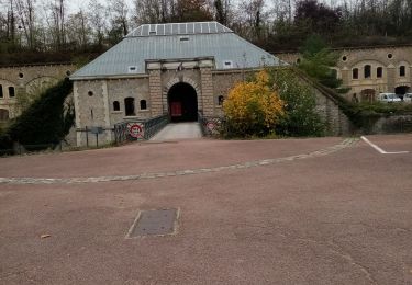
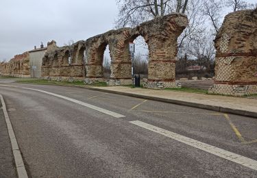
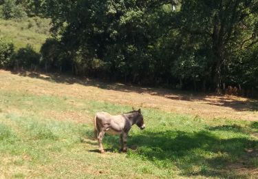
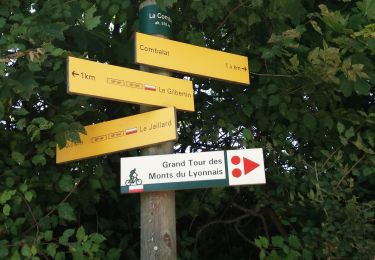
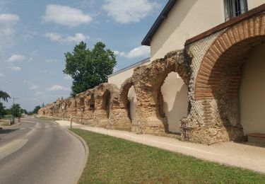
Trail Walking Francheville - moulin du got - Photo
© OpenStreetMap contributors
Length
Length
9.3 km
Max alt
Max alt
308 m
Uphill gradient
Uphill gradient
186 m
Km-Effort
Km-Effort  
11.8 km
Min alt
Min alt
207 m
Downhill gradient
Downhill gradient
179 m
Boucle
Boucle
Yes
Creation date :
2014-12-10 00:00:00.0
Updated on :
2014-12-10 00:00:00.0

(0 Reviews)

Walking
Walking
2h29
Difficulty : Unknown

Scan this QR Code to open this trail in the SityTrail application

FREE GPS app for hiking

Logo SityTrail SityTrail

IGN / Geographical institutes

Download SityTrail from the App Store Download SityTrail from Google Play

Logo SityTrail SityTrail World

The world is yours!

Download SityTrail from the App Store Download SityTrail from Google Play Download SityTrail on Huawei AppGallery

About

Trail Walking of 9.3 km to be discovered at Auvergne-Rhône-Alpes, Métropole de Lyon, Francheville. This trail is proposed by alain0902.

Description

Ballade sympathique et pédagogique.....revoir la fin, un peu trop de bitume

Elevation profile

Positioning

Country:
France
Region :
Auvergne-Rhône-Alpes
Department/Province :
Métropole de Lyon
Municipality :
Francheville
Location:
Unknown
Start:(UTM)
636467 ; 5066858 (31T) N.

Trails nearby

Trail Walking Craponne - départ cimetière de Craponne - Photo
Walking
mimi69670

Walking

Easy
(1)
Craponne, Auvergne-Rhône-Alpes, Métropole de Lyon, France
10.3 km | 13.1 km-effort
2h 36min
Yes
Trail Walking Marcy-l'Étoile - 69 Marcy l'Etoile et les Monts du Lyonnais - Photo
Walking
Maryma

Walking

Medium
(1)
Marcy-l'Étoile, Auvergne-Rhône-Alpes, Métropole de Lyon, France
22 km | 30 km-effort
5h 0min
Yes
Trail Mountain bike Grézieu-la-Varenne - scott25 - Photo
Mountain bike
bernardberard

Mountain bike

Very easy
(1)
Grézieu-la-Varenne, Auvergne-Rhône-Alpes, Rhône, France
26 km | 37 km-effort
Unknown
Yes
Trail Walking Grézieu-la-Varenne - grezieu la varenne. boucle - Photo
Walking
maclobar

Walking

Difficult
Grézieu-la-Varenne, Auvergne-Rhône-Alpes, Rhône, France
11.2 km | 13.8 km-effort
2h 24min
Yes
Trail Walking Francheville - Aqueduc et fort du Bruissin (PR1) - Photo
Walking
chuck

Walking

Easy
Francheville, Auvergne-Rhône-Alpes, Métropole de Lyon, France
19.1 km | 23 km-effort
5h 20min
Yes
Trail Walking Brindas - de brindas à soucieux en jarrest - Photo
Walking
maclobar

Walking

Very difficult
Brindas, Auvergne-Rhône-Alpes, Rhône, France
18 km | 21 km-effort
3h 52min
Yes
Trail Walking Craponne - de Craponne à Brindas .  - Photo
Walking
maclobar

Walking

Medium
Craponne, Auvergne-Rhône-Alpes, Métropole de Lyon, France
9.5 km | 11.5 km-effort
2h 8min
Yes
Trail Walking Chaponost - de Chaponost à Brignais AR - Photo
Walking
maclobar

Walking

Difficult
Chaponost, Auvergne-Rhône-Alpes, Rhône, France
11.8 km | 14.3 km-effort
2h 40min
Yes
Trail Walking Chaponost - Chaponost boucle - Photo
Walking
maclobar

Walking

Medium
Chaponost, Auvergne-Rhône-Alpes, Rhône, France
9.2 km | 11.2 km-effort
1h 56min
Yes


Close
My subscriptions