


9.2 km | 10.2 km-effort


User


FREE GPS app for hiking
 SityTrail
IGN / Geographical institutes
SityTrail World
The world is yours!
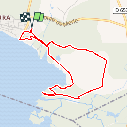
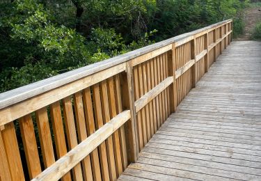
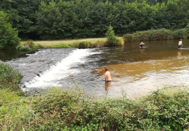
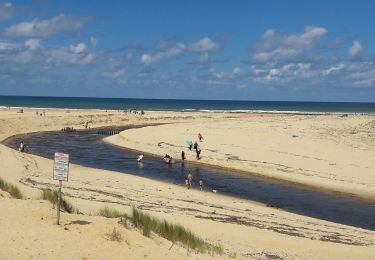
Trail Walking of 4.7 km to be discovered at New Aquitaine, Landes, Vielle-Saint-Girons. This trail is proposed by Elbe.
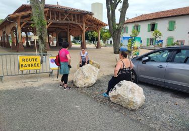
Depuis Léon D652 en direction de VIELLE / St GIRONS, au Quartier de Monlon, au rond-point tourner à gauche en direction de la plage.
Départ au parking.
Walking
Walking
Walking
Walking

Walking
Walking
Road bike

Walking
Walking
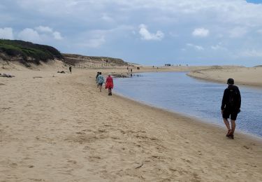
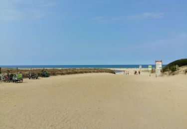
Facile et joli