


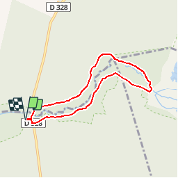

9.2 km | 10.2 km-effort


User


FREE GPS app for hiking
 SityTrail
IGN / Geographical institutes
SityTrail World
The world is yours!
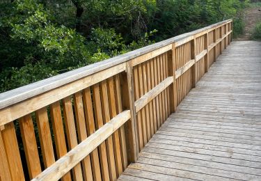
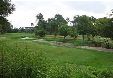
Trail Walking of 6.8 km to be discovered at New Aquitaine, Landes, Moliets-et-Maâ. This trail is proposed by Elbe.
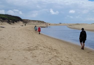
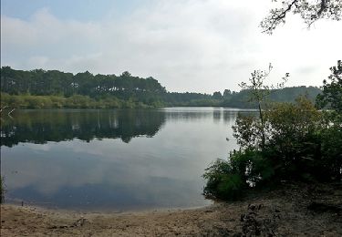
Échappé de l'étang de Léon pour aller retrouver l'Océan, le courant d'Huchet est l'une de ces petites rivières landaises qui servent d'exutoire aux lacs prospérant derrière le dunes.
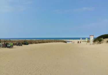
Départ, à l'entrée du parc, parking prés du pont de Pichelèbe à Léon.
Walking
Walking
Walking
Walking

Walking
Walking
Walking

Walking
Walking