


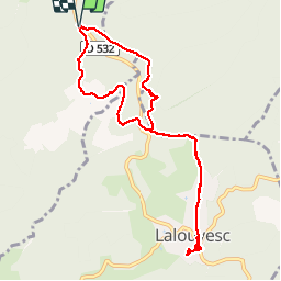

13.7 km | 18 km-effort


User


FREE GPS app for hiking
 SityTrail
IGN / Geographical institutes
SityTrail World
The world is yours!
Trail Walking of 10.2 km to be discovered at Auvergne-Rhône-Alpes, Ardèche, Saint-Pierre-sur-Doux. This trail is proposed by patbt.

On foot
Walking
On foot

Walking

Horseback riding
Horseback riding
Horseback riding

Walking
Walking
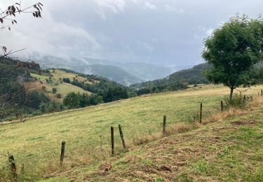
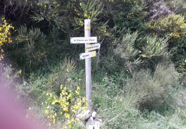
facile et un peu de hors sentier