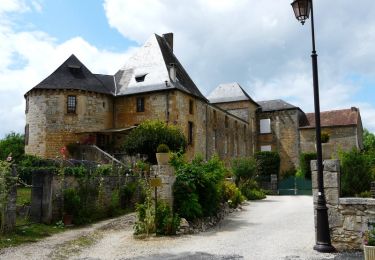
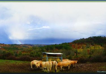
11.1 km | 13.3 km-effort
lyl.
jprete
User
Length
10 km
Max alt
275 m
Uphill gradient
152 m
Km-Effort
12.1 km
Min alt
183 m
Downhill gradient
158 m
Boucle
Yes
Creation date :
2014-12-10 00:00:00.0
Updated on :
2014-12-10 00:00:00.0
56m
Difficulty : Unknown
FREE GPS app for hiking
About
Trail Other activity of 10 km to be discovered at New Aquitaine, Dordogne, Ajat. This trail is proposed by jprete.
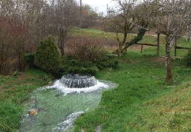
Positioning
Country:
France
Region :
New Aquitaine
Department/Province :
Dordogne
Municipality :
Ajat
Location:
Unknown
Start:(Dec)
Start:(UTM)
346175 ; 5001291 (31T) N.
Comments
Trails nearby
reco 3 romain thenon
Mountain bike
Easy
Ajat,
New Aquitaine,
Dordogne,
France
19.1 km | 23 km-effort
2h 3min
Yes
reco 3 romain thenon
Mountain bike
Easy
Ajat,
New Aquitaine,
Dordogne,
France
19.1 km | 23 km-effort
2h 3min
Yes
Du Verdoyant à Saint Léon-sur-Vézère
Mountain bike
Difficult
Thenon,
New Aquitaine,
Dordogne,
France
30 km | 40 km-effort
3h 0min
No
Du Verdoyant à St Orse avec la boucle du Boscornut - Thenon
Mountain bike
Difficult
Thenon,
New Aquitaine,
Dordogne,
France
35 km | 46 km-effort
3h 0min
No
Au départ du Verdoyant - Thenon
Mountain bike
Difficult
Thenon,
New Aquitaine,
Dordogne,
France
34 km | 45 km-effort
3h 0min
Yes
Sortie Thenon
Mountain bike
Medium
Thenon,
New Aquitaine,
Dordogne,
France
25 km | 30 km-effort
1h 59min
Yes
Beauzens Rozas La Rolfie 12km
Walking
Easy
Ajat,
New Aquitaine,
Dordogne,
France
11.7 km | 14.3 km-effort
2h 54min
Yes
Bauzens Patrimoine
Walking
Very easy
Ajat,
New Aquitaine,
Dordogne,
France
10.4 km | 13 km-effort
3h 3min
Yes