


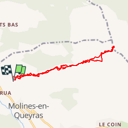

19.1 km | 36 km-effort


User


FREE GPS app for hiking
 SityTrail
IGN / Geographical institutes
SityTrail World
The world is yours!
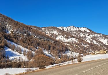
Trail Snowshoes of 8.1 km to be discovered at Provence-Alpes-Côte d'Azur, Hautes-Alpes, Molines-en-Queyras. This trail is proposed by phidge.
Non Reconnu -Ski de fond ?
copié:
http://fr.wikiloc.com/wikiloc/imgServer.do?id=914341
Ascensió des del poble de Gaudissard a la Gardiola de l'Alp, un dels cims més freqüentats del Queyras.

Walking

Walking

Walking

Mountain bike

Snowshoes

Walking
Snowshoes
Walking
Walking