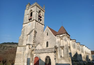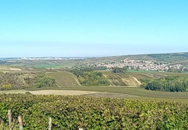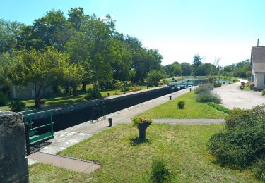

SLV-120825-Vincelles - Cravant-Vermenton

randodan
User

Length
15.6 km

Max alt
219 m

Uphill gradient
166 m

Km-Effort
17.8 km

Min alt
107 m

Downhill gradient
168 m
Boucle
Yes
Creation date :
2014-12-10 00:00:00.0
Updated on :
2014-12-10 00:00:00.0
4h40
Difficulty : Very easy

FREE GPS app for hiking
About
Trail Walking of 15.6 km to be discovered at Bourgogne-Franche-Comté, Yonne, Deux Rivières. This trail is proposed by randodan.
Description
W.E. camping SLV août 2012 .
1er jour samedi 25 :
Cravant , Vermenton , pique-nique au Parc Municipal des Iles , Accolay , canal d'Accolay , Cravant .
Positioning
Country:
France
Region :
Bourgogne-Franche-Comté
Department/Province :
Yonne
Municipality :
Deux Rivières
Location:
Unknown
Start:(Dec)
Start:(UTM)
551829 ; 5281146 (31T) N.
Comments
Trails nearby

CRAVANT


On foot
Easy
(1)
Deux Rivières,
Bourgogne-Franche-Comté,
Yonne,
France

8 km | 9.6 km-effort
2h 11min
Yes

Boucle des coteaux d 'Irancy


Walking
Easy
Irancy,
Bourgogne-Franche-Comté,
Yonne,
France

10.5 km | 13.7 km-effort
2h 5min
Yes

AVF - Cravant 13-04-2022


Walking
Very difficult
Deux Rivières,
Bourgogne-Franche-Comté,
Yonne,
France

8.7 km | 11.4 km-effort
2h 25min
Yes

AVF - Tour par les caves de Bailly 05-10-2022


Walking
Difficult
Saint-Bris-le-Vineux,
Bourgogne-Franche-Comté,
Yonne,
France

9.7 km | 12.7 km-effort
2h 29min
Yes

AVF Vincelles 290622


Walking
Medium
Vincelles,
Bourgogne-Franche-Comté,
Yonne,
France

9.3 km | 10 km-effort
2h 11min
Yes

BMF-140824 - Vincelles-Vermenton-Accolay


Walking
Very easy
Vermenton,
Bourgogne-Franche-Comté,
Yonne,
France

6.2 km | 6.9 km-effort
1h 40min
Yes

SityTrail - Vincelles


Walking
Medium
Vincelles,
Bourgogne-Franche-Comté,
Yonne,
France

9.3 km | 10.6 km-effort
2h 24min
Yes

Tour par Les caves de Bailly


Walking
Difficult
Saint-Bris-le-Vineux,
Bourgogne-Franche-Comté,
Yonne,
France

11.2 km | 15.8 km-effort
3h 35min
Yes

Tour par Les caves de Bailly


Walking
Difficult
Saint-Bris-le-Vineux,
Bourgogne-Franche-Comté,
Yonne,
France

8.6 km | 11.5 km-effort
2h 44min
Yes


 SityTrail


Randonnée agréable.