


9.5 km | 11.3 km-effort

Randonnées de la Maison du Tourisme Famenne - Ardenne Ourthe & Lesse PRO


FREE GPS app for hiking
 SityTrail
IGN / Geographical institutes
SityTrail World
The world is yours!
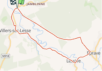
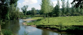
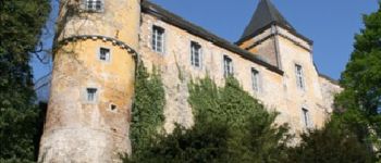
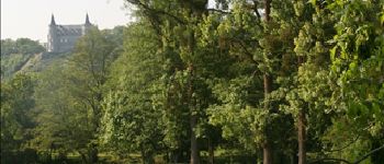
Trail Walking of 9.2 km to be discovered at Wallonia, Namur, Rochefort. This trail is proposed by Maison du Tourisme Famenne - Ardenne Ourthe & Lesse.
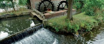
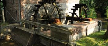
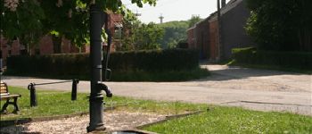
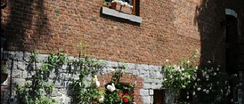
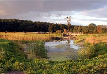
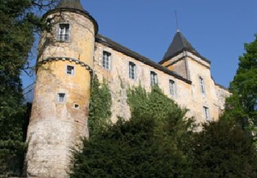
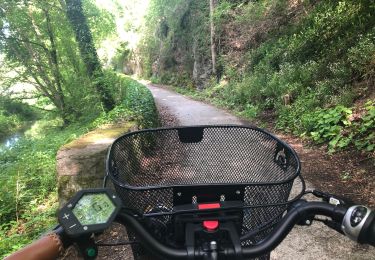
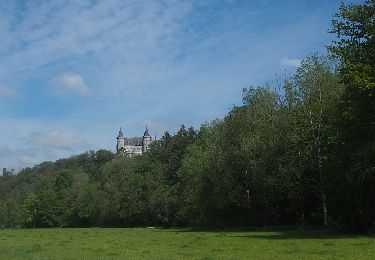
Family orienteded walk discovering the natural and achitectural heritage of the picturesque villages of Eprave, Lessive and Villers-sur-Lesse.


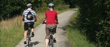
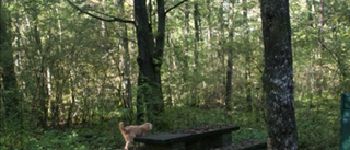
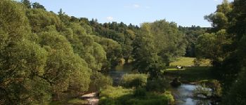
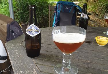
24 photos in total. Please click on a photo to see them all in the gallery.

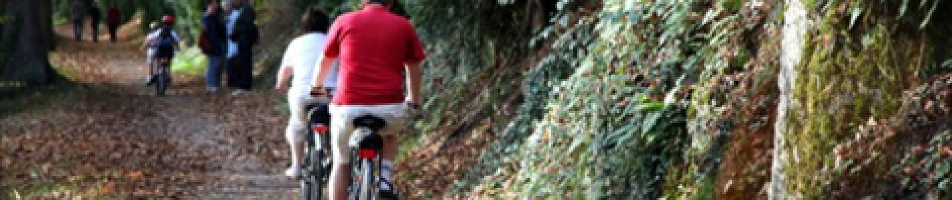
Walking
Walking
Walking
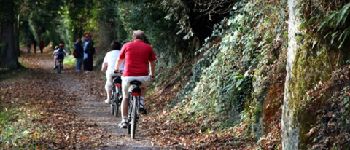
Cycle

Walking
Walking

On foot
Walking
Jolie balade mais trop de route et pas assez de chemin forestier à mon goût
Tout sur bitume, pas le mieux pour courir.
nice walk, albeit the tar roads...
Goed voor kilometervreters maar niet voor natuurliefhebbers. Zeer eentonig, altijd op beton of asfalt...
Goed voor kilometervreters maar niet voor natuurliefhebbers. Zeer eentonig, altijd op beton of asfalt...
Mooie bruikbare App.
Prachtige App met vele mogelijkheden.
Ballade sympa. Un peu trop asphalte pour mon goût. Mais beau village près de ciergnon. Je préfère les ballades dans les bois ou champs. Le Ravel a l'air très beau. Entre houyet et Rochefors. Beaucoup de promenades à faire dans le coin.
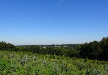
beaux paysages le long de la lesse anecdotes amusantes
werkt goed