


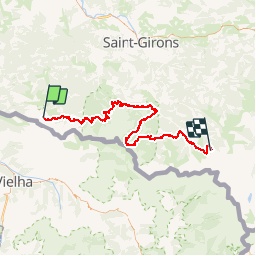

24 km | 44 km-effort


User


FREE GPS app for hiking
 SityTrail
IGN / Geographical institutes
SityTrail World
The world is yours!
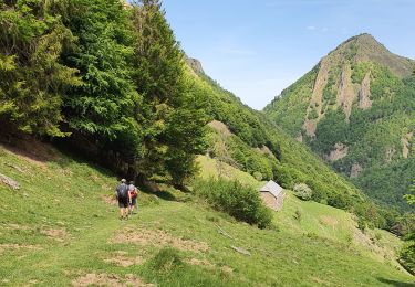
Trail Walking of 102 km to be discovered at Occitania, Ariège, Sentein. This trail is proposed by poussin18.
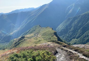
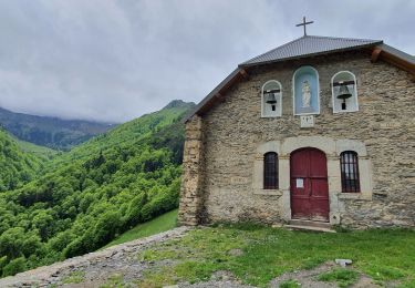
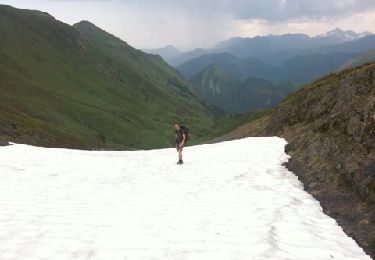
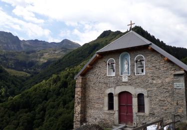
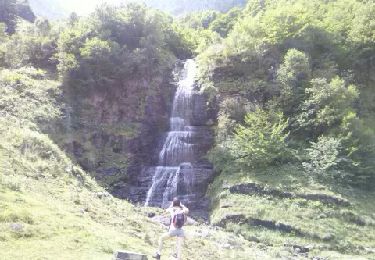
Randonnée avec le GR10 à travers l'Ariège de l'Etang d'Araing à l'Etang de Guzet. Etang d'Araing: Cabane de l'Etang, 05 61 96 73 73
Aunac (Seix): Gîte d'étape d'Aunac, 05 61 66 82 15
Bidous (Ustou): Gîte d'étape et de séjour l'Escolan, 05 61 96 58 72

Walking
Walking
Walking
Walking
Walking
Walking
Walking
Walking
Walking