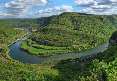
14.4 km | 18.7 km-effort
saint juan
fsanti
User
Length
29 km
Max alt
493 m
Uphill gradient
375 m
Km-Effort
34 km
Min alt
368 m
Downhill gradient
373 m
Boucle
No
Creation date :
2014-12-10 00:00:00.0
Updated on :
2014-12-10 00:00:00.0
1h26
Difficulty : Medium
FREE GPS app for hiking
About
Trail Cycle of 29 km to be discovered at Bourgogne-Franche-Comté, Doubs, Champlive. This trail is proposed by fsanti.
Positioning
Country:
France
Region :
Bourgogne-Franche-Comté
Department/Province :
Doubs
Municipality :
Champlive
Location:
Unknown
Start:(Dec)
Start:(UTM)
292220 ; 5240686 (32T) N.
Comments
Trails nearby
dammartin les templiers
Walking
Easy
(2)
Dammartin-les-Templiers,
Bourgogne-Franche-Comté,
Doubs,
France
2h 34min
Yes
Sentier du Château Loriot
On foot
Easy
Deluz,
Bourgogne-Franche-Comté,
Doubs,
France
4.2 km | 7.6 km-effort
1h 43min
Yes
Sentier du Patrimoine
On foot
Easy
Deluz,
Bourgogne-Franche-Comté,
Doubs,
France
3.2 km | 4.6 km-effort
1h 2min
Yes
L'Abbaye de Grâce-Dieu
On foot
Easy
,
Bourgogne-Franche-Comté,
Doubs,
France
12.5 km | 17.4 km-effort
3h 57min
Yes
Sentier des Crêtes
On foot
Easy
Champlive,
Bourgogne-Franche-Comté,
Doubs,
France
8.3 km | 11.7 km-effort
2h 39min
Yes
Les Gorges de l'Audeux
On foot
Easy
Bretigney-Notre-Dame,
Bourgogne-Franche-Comté,
Doubs,
France
4 km | 5 km-effort
1h 8min
No
Roulans
Walking
Very easy
(1)
Roulans,
Bourgogne-Franche-Comté,
Doubs,
France
10.6 km | 13.7 km-effort
2h 44min
Yes
ougney la Roche (douvot)
Walking
Easy
(1)
Ougney-Douvot,
Bourgogne-Franche-Comté,
Doubs,
France
11.7 km | 16.9 km-effort
1h 54min
Yes
Bouclans
Walking
Medium
Bouclans,
Bourgogne-Franche-Comté,
Doubs,
France
16.4 km | 20 km-effort
2h 32min
Yes