

Périphs Dragui-Trans

Sugg
User

Length
36 km

Max alt
298 m

Uphill gradient
546 m

Km-Effort
43 km

Min alt
136 m

Downhill gradient
550 m
Boucle
Yes
Creation date :
2019-03-22 17:00:27.22
Updated on :
2019-03-22 17:00:27.311
2h34
Difficulty : Medium

FREE GPS app for hiking
About
Trail Mountain bike of 36 km to be discovered at Provence-Alpes-Côte d'Azur, Var, Draguignan. This trail is proposed by Sugg.
Description
Vtt, peut se faire en VTC, un seul passage sur une piste en terre, beaucoup de passages à l'ombre, quelques belles bosses,belle " balade ".
Ps : la boucle pont d'Aups, pont de la Clappe D955 est faite 2 fois, 1 fois à l'aller et la 2ème au retour.
Positioning
Country:
France
Region :
Provence-Alpes-Côte d'Azur
Department/Province :
Var
Municipality :
Draguignan
Location:
Unknown
Start:(Dec)
Start:(UTM)
294824 ; 4823306 (32T) N.
Comments
Trails nearby
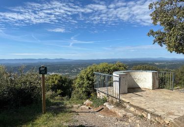
Draguignan Malmont 10 km


Walking
Medium
Draguignan,
Provence-Alpes-Côte d'Azur,
Var,
France

10 km | 14.7 km-effort
2h 56min
Yes
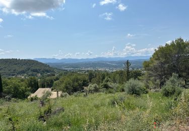
Draguignan Roche aux Fées Malmont 17 km


Walking
Medium
Draguignan,
Provence-Alpes-Côte d'Azur,
Var,
France

17.2 km | 23 km-effort
5h 52min
Yes

Figanières 01


Walking
Very easy
(1)
Figanières,
Provence-Alpes-Côte d'Azur,
Var,
France

8.4 km | 11.8 km-effort
2h 30min
Yes

Musée de l’artillerie et cimetière américain 7 km


Walking
Very easy
Draguignan,
Provence-Alpes-Côte d'Azur,
Var,
France

7.3 km | 8.1 km-effort
2h 49min
Yes
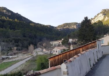
Rebouillon le long de la Nartuby


Walking
Easy
Draguignan,
Provence-Alpes-Côte d'Azur,
Var,
France

4.8 km | 5.9 km-effort
1h 33min
Yes
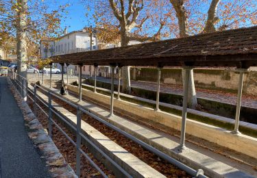
Malmont 10 km


Walking
Medium
Draguignan,
Provence-Alpes-Côte d'Azur,
Var,
France

10.1 km | 15.2 km-effort
4h 32min
Yes
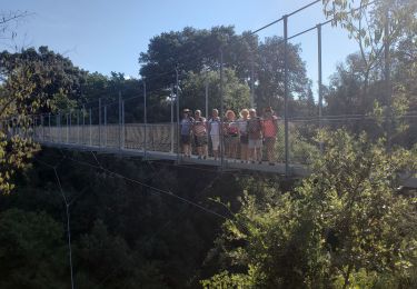
TRANS-Le puits aérien et la passerelle hymalayenne -MBO


Walking
Easy
(2)
Trans-en-Provence,
Provence-Alpes-Côte d'Azur,
Var,
France

8.1 km | 10.6 km-effort
2h 41min
Yes
20220308 vtt route


Mountain bike
Very difficult
Draguignan,
Provence-Alpes-Côte d'Azur,
Var,
France

53 km | 61 km-effort
3h 35min
Yes
20220301 vtt route


Mountain bike
Easy
Draguignan,
Provence-Alpes-Côte d'Azur,
Var,
France

30 km | 35 km-effort
2h 37min
Yes


 SityTrail


