


6.8 km | 11.1 km-effort


User


FREE GPS app for hiking
 SityTrail
IGN / Geographical institutes
SityTrail World
The world is yours!
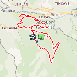
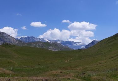
Trail Mountain bike of 23 km to be discovered at Auvergne-Rhône-Alpes, Savoy, Courchevel. This trail is proposed by cro.
très belle descente de coruchevel 1850 au Praz. Epingles serrées et passages techniques. Ensuite descente médiocre en grandes pistes du Praz au grand Carrey. Essayer de descendre vers Brides par la pistes noire balisée FFC

Walking
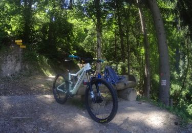
Mountain bike

Walking
Walking
Walking
Walking
Walking
Walking
Walking