


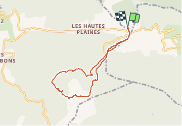


14 km | 28 km-effort

User


FREE GPS app for hiking
 SityTrail
IGN / Geographical institutes
SityTrail World
The world is yours!
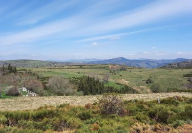
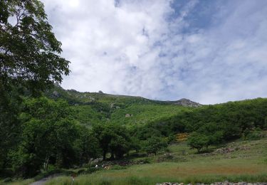
Trail Walking of 8 km to be discovered at Auvergne-Rhône-Alpes, Ardèche, Mayres. This trail is proposed by DiagMan.
Promenade jusqu'au sommet du Grand Tanargue à partir de chez Caki : 1ère édition réalisée le avec Domi, Manu, Sarah et moi le 19 août 2012.


Walking

Walking
Walking
Walking

Walking

Walking

Walking

On foot

Walking