


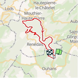

14.8 km | 23 km-effort


User


FREE GPS app for hiking
 SityTrail
IGN / Geographical institutes
SityTrail World
The world is yours!
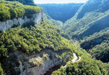
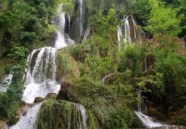
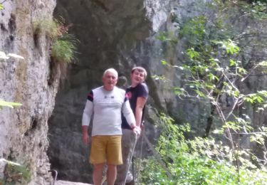
Trail Other activity of 15.3 km to be discovered at Bourgogne-Franche-Comté, Doubs, Ouhans. This trail is proposed by alrg.
sortie club de marche de Montlebon du mardi 21 août 2012
Walking

Walking
Walking
Walking
Walking

On foot

Walking
Walking
Walking