


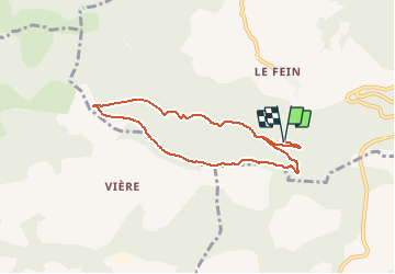


5.9 km | 8.2 km-effort


User


FREE GPS app for hiking
 SityTrail
IGN / Geographical institutes
SityTrail World
The world is yours!
Trail Walking of 7.5 km to be discovered at Provence-Alpes-Côte d'Azur, Hautes-Alpes, Chorges. This trail is proposed by HILLEBRAND.
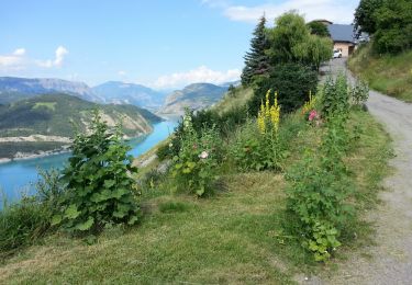
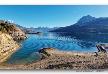
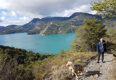
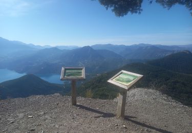
Ballade en grande partie en forêt.
En été, à faire le matin ou en fin d'après midi.
A priori, praticable toute l'année.
Pique nique possible au point de vue, attention une seule table.

Walking

Walking
Walking

Walking
Walking

Walking

Walking
Walking
Walking