


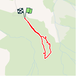


11.3 km | 20 km-effort

User


FREE GPS app for hiking
 SityTrail
IGN / Geographical institutes
SityTrail World
The world is yours!
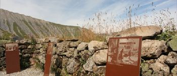
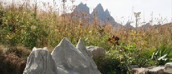
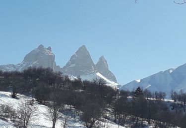
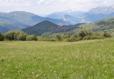
Trail Walking of 3 km to be discovered at Auvergne-Rhône-Alpes, Savoy, Albiez-Montrond. This trail is proposed by plmolbert.
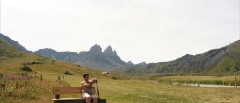
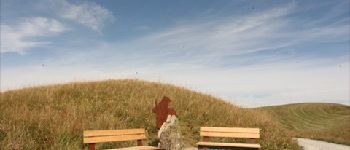
Promenade confort :
Accessible à tous, y compris aux familles avec poussettes, aux seniors et aux personnes en fauteuil roulant accompagnées.
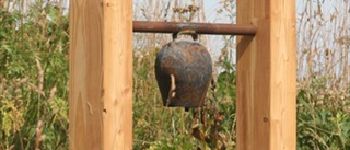
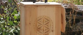
Découverte d'un site de caractère. Une promenade originale et ludique à partager en famille ou entre amis.


Snowshoes
Snowshoes

Walking
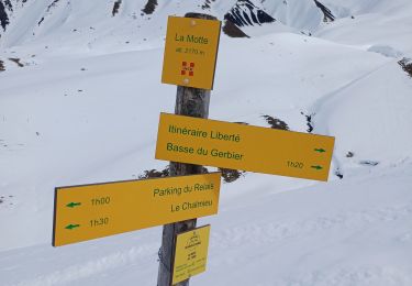
Snowshoes
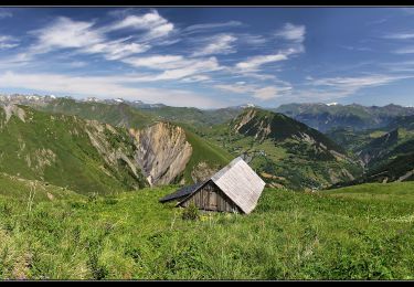
Walking
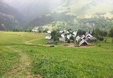
Walking
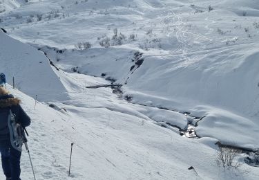
Snowshoes

Walking
Walking