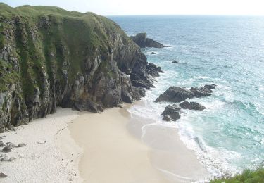
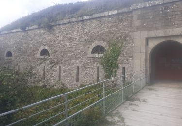
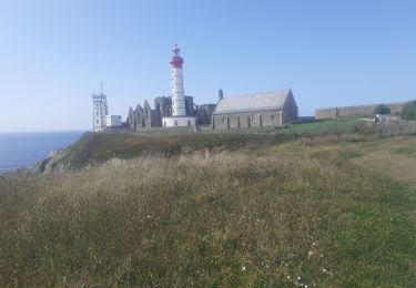
Trail Nordic walking Le Conquet - Les Blancs Salons et la Pointe de Kermorvan - Photo

Les Blancs Salons et la Pointe de Kermorvan

 jfgarmy
jfgarmy

User

© OpenStreetMap contributors
Length
Length
8.9 km
Max alt
Max alt
48 m
Uphill gradient
Uphill gradient
136 m
Km-Effort
Km-Effort  
10.7 km
Min alt
Min alt
0 m
Downhill gradient
Downhill gradient
137 m
Boucle
Boucle
Yes
Creation date :
2014-12-10 00:00:00.0
Updated on :
2014-12-10 00:00:00.0

(0 Reviews)

Nordic walking
Nordic walking
1h26
Difficulty : Easy

Scan this QR Code to open this trail in the SityTrail application

FREE GPS app for hiking

Logo SityTrail SityTrail

IGN / Geographical institutes

Download SityTrail from the App Store Download SityTrail from Google Play

Logo SityTrail SityTrail World

The world is yours!

Download SityTrail from the App Store Download SityTrail from Google Play Download SityTrail on Huawei AppGallery

About

Trail Nordic walking of 8.9 km to be discovered at Brittany, Finistère, Le Conquet. This trail is proposed by jfgarmy.

Description

Au nord du Conquet.<BR>
Trois parties séparées par l'isthme où se situe le parking 4.<BR>
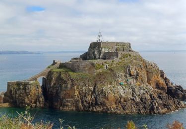
A l'ouest de cet isthme : la presqu'ile de Kermorvan, riche en points de vue... et en dénivelés.<BR>
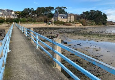
Au sud-est : la Ria du Conquet, partie plutôt plate, facile et régulièrement ombragée.<BR>
Au nord-est : la plage des Blanc-Sablons, repère des surfeurs, véliplanchistes et kite-surfeurs, partie plutôt sablonneuse.<BR>
Bonne promenade!

Elevation profile

Points of interest

Point of interest Le Conquet - Vue sur le Port du Conquet - Photo
jfgarmy
Point of interest Le Conquet - Parking 4 - Photo
jfgarmy
LE CONQUET 
Point of interest Le Conquet - Parking 3 - Photo
jfgarmy
LE CONQUET 
Point of interest Le Conquet - Parking 2 - Photo
jfgarmy
LE CONQUET 
Point of interest Le Conquet - Parking 1 - Photo
jfgarmy
LE CONQUET 

Positioning

Country:
France
Region :
Brittany
Department/Province :
Finistère
Municipality :
Le Conquet
Location:
Unknown
Start:(UTM)
370080 ; 5359124 (30U) N.

Trails nearby

Trail Walking Plougonvelin - PLOUGONVELIN - Photo
Walking
mauricemear

Walking

Medium
(1)
Plougonvelin, Brittany, Finistère, France
12.2 km | 14.1 km-effort
2h 39min
Yes
Trail Mountain bike Plougonvelin - Espace VTT FFC du Pays d'Iroise- Circuit n° 2  - Photo
Mountain bike
tracegps

Mountain bike

Medium
(1)
Plougonvelin, Brittany, Finistère, France
16.5 km | 19.4 km-effort
1h 15min
Yes
Trail Walking Ploumoguer - Blanc sablons - Photo
Walking
jybe

Walking

(1)
Ploumoguer, Brittany, Finistère, France
15.5 km | 18.9 km-effort
4h 31min
Yes
Trail On foot Le Conquet - AT Face Port Conquet Pte Ker Morvan 10km  200m - Photo
On foot
YV24

On foot

Easy
(1)
Le Conquet, Brittany, Finistère, France
9.4 km | 11 km-effort
2h 30min
Yes
Trail Walking Le Conquet - 10.09.23  Le Conquet  --  Plougonvelin - Photo
Walking
GUIDE
donda

Walking

Very difficult
Le Conquet, Brittany, Finistère, France
17.7 km | 21 km-effort
4h 48min
No
Trail On foot Plougonvelin - Circuit de St Mathieu - Photo
On foot
GUIDE+

On foot

Easy
Plougonvelin, Brittany, Finistère, France
4.3 km | 5 km-effort
1h 8min
No
Trail Walking Le Conquet - Le conquet blancs sablons Trezien - Photo
Walking
RoMo

Walking

Medium
Le Conquet, Brittany, Finistère, France
21 km | 26 km-effort
4h 56min
Yes
Trail Walking Plougonvelin - pointe saint mathieu - Photo
Walking
RoMo

Walking

Medium
Plougonvelin, Brittany, Finistère, France
9.7 km | 11.5 km-effort
2h 31min
Yes
Trail Walking Le Conquet - Le conquet kermorvan - Photo
Walking
RoMo

Walking

Medium
Le Conquet, Brittany, Finistère, France
10.2 km | 12.1 km-effort
2h 58min
Yes


Close
My subscriptions