10 km | 18 km-effort
descente vallée haute claree
anne.briqueteur
User
Length
14.6 km
Max alt
2025 m
Uphill gradient
181 m
Km-Effort
18.5 km
Min alt
1596 m
Downhill gradient
607 m
Boucle
No
Creation date :
2014-12-10 00:00:00.0
Updated on :
2014-12-10 00:00:00.0
4h48
Difficulty : Very easy
FREE GPS app for hiking
About
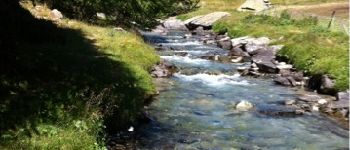
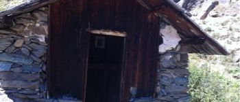
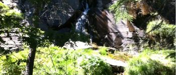
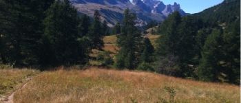
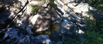
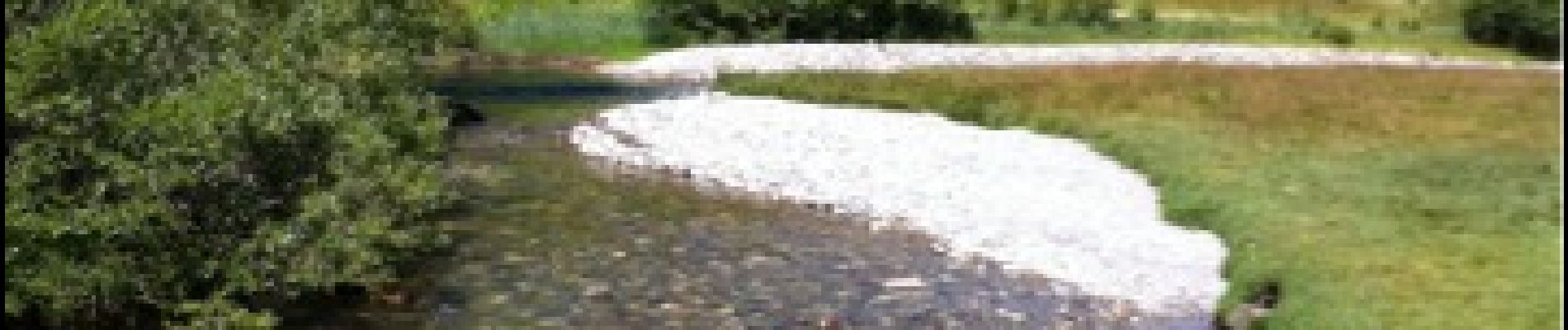
Trail Walking of 14.6 km to be discovered at Provence-Alpes-Côte d'Azur, Hautes-Alpes, Névache. This trail is proposed by anne.briqueteur.
Points of interest
Positioning
Country:
France
Region :
Provence-Alpes-Côte d'Azur
Department/Province :
Hautes-Alpes
Municipality :
Névache
Location:
Unknown
Start:(Dec)
Start:(UTM)
305136 ; 4992414 (32T) N.
Comments
Trails nearby
Briançonnais Lac du Serpent
Walking
Medium
(2)
Névache,
Provence-Alpes-Côte d'Azur,
Hautes-Alpes,
France
3h 10min
Yes
Col du Chardonnet - Névache
Walking
Medium
(3)
Névache,
Provence-Alpes-Côte d'Azur,
Hautes-Alpes,
France
12.3 km | 23 km-effort
4h 0min
Yes
Le Grand Lac
Walking
Difficult
(2)
Le Monêtier-les-Bains,
Provence-Alpes-Côte d'Azur,
Hautes-Alpes,
France
5.2 km | 12.8 km-effort
5h 0min
No
l'aiguillette du Lauzet par le grand lac
Walking
Difficult
Le Monêtier-les-Bains,
Provence-Alpes-Côte d'Azur,
Hautes-Alpes,
France
13.8 km | 29 km-effort
8h 39min
Yes
Via ferrata Aiguillette du Lauzet 30/06/18
Via ferrata
Medium
Le Monêtier-les-Bains,
Provence-Alpes-Côte d'Azur,
Hautes-Alpes,
France
9.5 km | 21 km-effort
2h 30min
Yes
la roche du Chardonnet
Walking
Medium
Névache,
Provence-Alpes-Côte d'Azur,
Hautes-Alpes,
France
16.6 km | 29 km-effort
7h 26min
Yes
Lacs Laramon et Serpent
Walking
Medium
(2)
Névache,
Provence-Alpes-Côte d'Azur,
Hautes-Alpes,
France
10.4 km | 21 km-effort
6h 0min
Yes
Haut tour des Cerces
Walking
Very difficult
(1)
Le Monêtier-les-Bains,
Provence-Alpes-Côte d'Azur,
Hautes-Alpes,
France
42 km | 77 km-effort
15h 27min
Yes
lacs laramon, du serpent, des gardioles et pic du lac blanc
Walking
Medium
(1)
Névache,
Provence-Alpes-Côte d'Azur,
Hautes-Alpes,
France
15.8 km | 31 km-effort
7h 30min
Yes