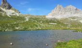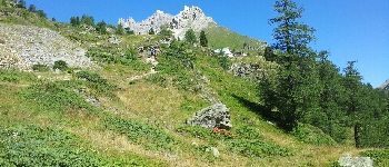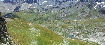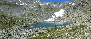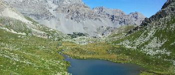

Les 3 lacs du Mont Thabor

patsure
User

Length
18.2 km

Max alt
2630 m

Uphill gradient
929 m

Km-Effort
31 km

Min alt
1719 m

Downhill gradient
958 m
Boucle
No
Creation date :
2014-12-10 00:00:00.0
Updated on :
2014-12-10 00:00:00.0
6h33
Difficulty : Difficult

FREE GPS app for hiking
About
Trail Walking of 18.2 km to be discovered at Provence-Alpes-Côte d'Azur, Hautes-Alpes, Névache. This trail is proposed by patsure.
Description
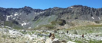
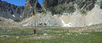
Superbe rando avec des paysages très variés. Une bonne partie de la rando se fait en hors sentier, y compris des passages en pierrier.
Positioning
Country:
France
Region :
Provence-Alpes-Côte d'Azur
Department/Province :
Hautes-Alpes
Municipality :
Névache
Location:
Unknown
Start:(Dec)
Start:(UTM)
313130 ; 4993350 (32T) N.
Comments
Trails nearby
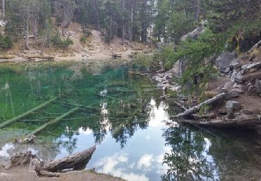
Lac Vert.Vallée Etroite.(27-09-17)


Walking
Very easy
(1)
Névache,
Provence-Alpes-Côte d'Azur,
Hautes-Alpes,
France

4.2 km | 5.9 km-effort
1h 19min
Yes
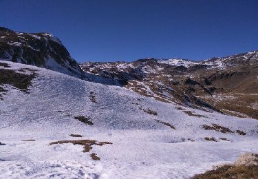
les granges de la vallée étroite au refuge du Mont Thabor


Walking
Easy
(1)
Névache,
Provence-Alpes-Côte d'Azur,
Hautes-Alpes,
France

8.6 km | 16.2 km-effort
3h 44min
No
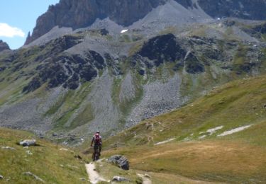
Tour des Rois Mages en VTT - Névache


Mountain bike
Difficult
(2)
Névache,
Provence-Alpes-Côte d'Azur,
Hautes-Alpes,
France

35 km | 55 km-effort
5h 0min
Yes
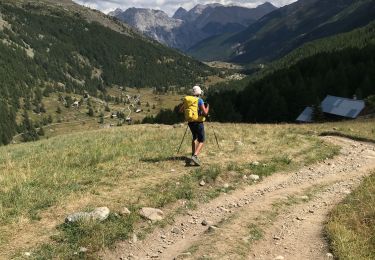
Col roche noire


Walking
Difficult
Névache,
Provence-Alpes-Côte d'Azur,
Hautes-Alpes,
France

17.1 km | 31 km-effort
6h 37min
Yes
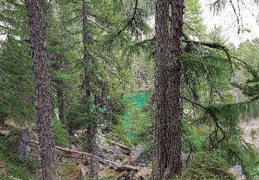
le Mont Thabor


Walking
Difficult
Névache,
Provence-Alpes-Côte d'Azur,
Hautes-Alpes,
France

19.9 km | 40 km-effort
8h 44min
Yes
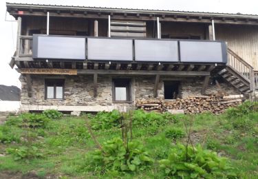
Vallée étroite refuge du Thabor


Walking
Difficult
Névache,
Provence-Alpes-Côte d'Azur,
Hautes-Alpes,
France

10.2 km | 18.4 km-effort
3h 6min
No
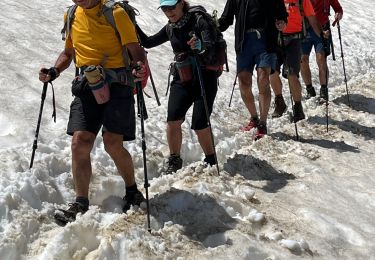
Vallée étroite thabor


sport
Very easy
Névache,
Provence-Alpes-Côte d'Azur,
Hautes-Alpes,
France

23 km | 43 km-effort
Unknown
Yes
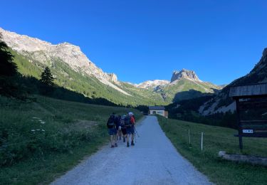
J4 2023 - Le Thabor épisode 2


Walking
Very difficult
Névache,
Provence-Alpes-Côte d'Azur,
Hautes-Alpes,
France

24 km | 44 km-effort
7h 13min
Yes
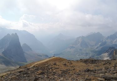
Mont Thabor à partir des Granges


Walking
Very difficult
Névache,
Provence-Alpes-Côte d'Azur,
Hautes-Alpes,
France

18.1 km | 37 km-effort
6h 39min
No


 SityTrail


