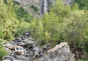
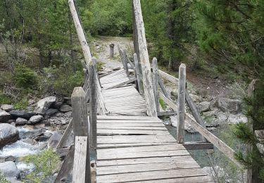
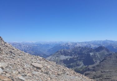
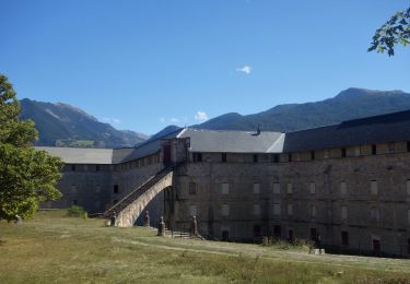
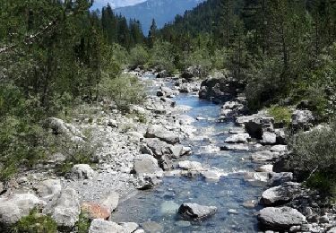
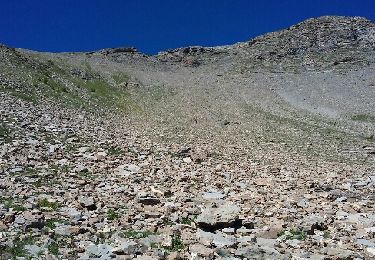
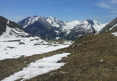
Trail Walking Saint-Clément-sur-Durance - La Gueste ( 2724m) - Photo
© OpenStreetMap contributors
Length
Length
12.2 km
Max alt
Max alt
2690 m
Uphill gradient
Uphill gradient
1230 m
Km-Effort
Km-Effort  
29 km
Min alt
Min alt
1520 m
Downhill gradient
Downhill gradient
1230 m
Boucle
Boucle
Yes
Creation date :
2014-12-10 00:00:00.0
Updated on :
2014-12-10 00:00:00.0

(1 Reviews)

Walking
Walking
--
Difficulty : Difficult

Scan this QR Code to open this trail in the SityTrail application

FREE GPS app for hiking

Logo SityTrail SityTrail

IGN / Geographical institutes

Download SityTrail from the App Store Download SityTrail from Google Play

Logo SityTrail SityTrail World

The world is yours!

Download SityTrail from the App Store Download SityTrail from Google Play Download SityTrail on Huawei AppGallery

About

Trail Walking of 12.2 km to be discovered at Provence-Alpes-Côte d'Azur, Hautes-Alpes, Saint-Clément-sur-Durance. This trail is proposed by chevallier.

Elevation profile

Positioning

Country:
France
Region :
Provence-Alpes-Côte d'Azur
Department/Province :
Hautes-Alpes
Municipality :
Saint-Clément-sur-Durance
Location:
Unknown
Start:(UTM)
303130 ; 4949179 (32T) N.

Comments

Please log in to post a review or rate the element


Très beau en automne avec les mélèzes en or. Vue superbe depuis l'arête. Rando sportive mais pas exposée. Forêt, cascades, lac, crêtes, cabanes, faune... tout y est.


Trails nearby

Trail Walking Châteauroux-les-Alpes - Vallon du Rabioux - Photo
Walking
gildascb

Walking

Easy
Châteauroux-les-Alpes, Provence-Alpes-Côte d'Azur, Hautes-Alpes, France
12.1 km | 22 km-effort
4h 5min
Yes
Trail Walking Saint-Clément-sur-Durance - Pic de Rochelaire - Photo
Walking
GUIDE
David25400

Walking

Very difficult
Saint-Clément-sur-Durance, Provence-Alpes-Côte d'Azur, Hautes-Alpes, France
16 km | 37 km-effort
7h 21min
Yes
Trail Walking Réotier - Tête de Vautisse  - Photo
Walking
Forain

Walking

Difficult
Réotier, Provence-Alpes-Côte d'Azur, Hautes-Alpes, France
12 km | 23 km-effort
8h 19min
Yes
Trail Walking Châteauroux-les-Alpes - Rome-42-St Alban-Eygliers-20170913 - Photo
Walking
patrickdanilo

Walking

Difficult
Châteauroux-les-Alpes, Provence-Alpes-Côte d'Azur, Hautes-Alpes, France
17.9 km | 26 km-effort
5h 12min
No
Trail Walking Saint-Clément-sur-Durance - La Cabane du Couleau - Photo
Walking
gildascb

Walking

Easy
(1)
Saint-Clément-sur-Durance, Provence-Alpes-Côte d'Azur, Hautes-Alpes, France
7.9 km | 14.5 km-effort
3h 18min
Yes
Trail Walking Châteauroux-les-Alpes - l'ALPET: Chapelle St Pierre/ porte du Distroit ( La Mari Passe) - Photo
Walking
BLANCHET

Walking

Difficult
Châteauroux-les-Alpes, Provence-Alpes-Côte d'Azur, Hautes-Alpes, France
3.6 km | 10.4 km-effort
2h 58min
Yes
Trail Walking Châteauroux-les-Alpes - Le Distroit. par Pied Brun - Photo
Walking
BLANCHET

Walking

Difficult
Châteauroux-les-Alpes, Provence-Alpes-Côte d'Azur, Hautes-Alpes, France
7.7 km | 19 km-effort
4h 4min
No
Trail Touring skiing Réotier - crête des Prénetz - Photo
Touring skiing
GUIDE
orsel

Touring skiing

Medium
Réotier, Provence-Alpes-Côte d'Azur, Hautes-Alpes, France
8.9 km | 19.6 km-effort
4h 56min
No
Trail Touring skiing Châteauroux-les-Alpes - Tête de Clotinaille - Photo
Touring skiing
GUIDE
orsel

Touring skiing

Medium
Châteauroux-les-Alpes, Provence-Alpes-Côte d'Azur, Hautes-Alpes, France
8.9 km | 22 km-effort
4h 50min
No


Close
My subscriptions