


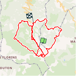

7.7 km | 14.9 km-effort


FREE GPS app for hiking
 SityTrail
IGN / Geographical institutes
SityTrail World
The world is yours!
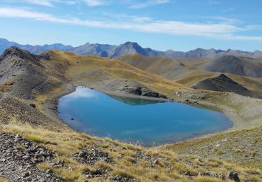
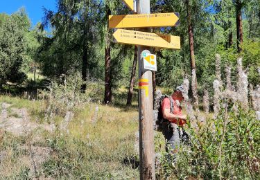
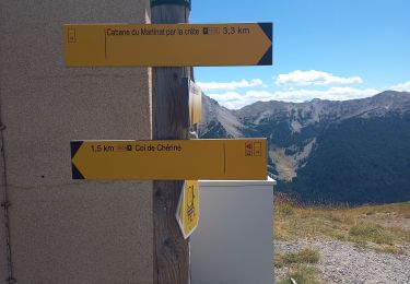
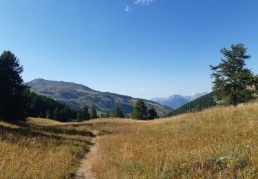
Trail Mountain bike of 32 km to be discovered at Provence-Alpes-Côte d'Azur, Hautes-Alpes, Risoul. This trail is proposed by francois_molter@hotmail.com.


Walking

Walking

Walking

Other activity
Walking
Walking

Walking
Walking
Walking