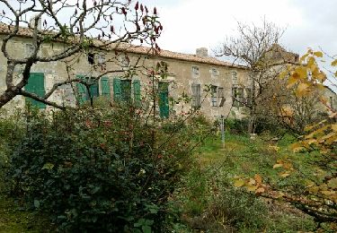
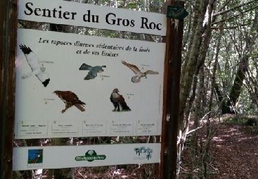
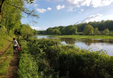
10.4 km | 12 km-effort
Gros fayant rouge+bleu
sy!
User
Length
13.9 km
Max alt
136 m
Uphill gradient
133 m
Km-Effort
15.7 km
Min alt
93 m
Downhill gradient
132 m
Boucle
Yes
Creation date :
2014-12-10 00:00:00.0
Updated on :
2014-12-10 00:00:00.0
2h20
Difficulty : Very easy
FREE GPS app for hiking
About
Trail Nordic walking of 13.9 km to be discovered at New Aquitaine, Charente, Rivières. This trail is proposed by sy!.
Positioning
Country:
France
Region :
New Aquitaine
Department/Province :
Charente
Municipality :
Rivières
Location:
Unknown
Start:(Dec)
Start:(UTM)
290941 ; 5069540 (31T) N.
Comments
Trails nearby
Les hauts de Saulniere par chez Rabaud
Walking
Easy
La Rochefoucauld-en-Angoumois,
New Aquitaine,
Charente,
France
2h 37min
Yes
Le sentier du Père de la Brosse
Walking
Easy
Jauldes,
New Aquitaine,
Charente,
France
10.7 km | 12.5 km-effort
2h 54min
Yes
circuit du gros fayant
Walking
Very easy
Rivières,
New Aquitaine,
Charente,
France
10 km | 11.6 km-effort
3h 1min
Yes
riviere
Walking
Medium
Rivières,
New Aquitaine,
Charente,
France
10.6 km | 11.7 km-effort
2h 7min
Yes
braconne2204
Walking
Medium
Rivières,
New Aquitaine,
Charente,
France
6.1 km | 7.2 km-effort
2h 7min
Yes
St projet2005
Walking
Medium
Rivières,
New Aquitaine,
Charente,
France
6.1 km | 7.2 km-effort
3h 4min
Yes
14 juillet
Mountain bike
Medium
Brie,
New Aquitaine,
Charente,
France
25 km | 30 km-effort
1h 42min
Yes
jauldes
Walking
Very easy
Jauldes,
New Aquitaine,
Charente,
France
11.3 km | 13 km-effort
2h 59min
Yes