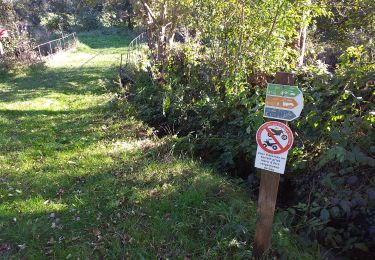
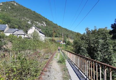
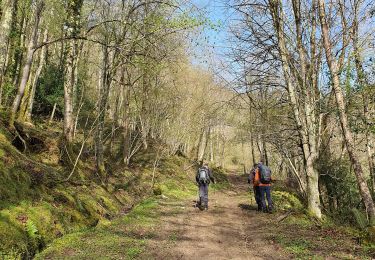
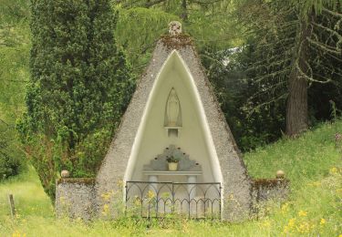
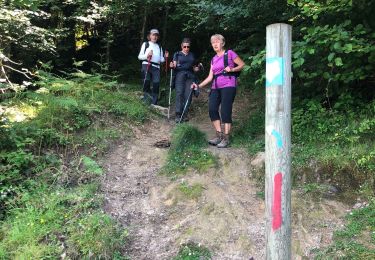
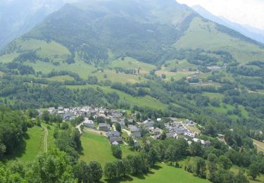
Trail Walking Esparros - Pacte des loups - Photo
© OpenStreetMap contributors
Length
Length
10.9 km
Max alt
Max alt
1247 m
Uphill gradient
Uphill gradient
532 m
Km-Effort
Km-Effort  
18 km
Min alt
Min alt
823 m
Downhill gradient
Downhill gradient
532 m
Boucle
Boucle
Yes
Creation date :
2014-12-10 00:00:00.0
Updated on :
2014-12-10 00:00:00.0

(2 Reviews)

Walking
Walking
--
Difficulty : Medium

Scan this QR Code to open this trail in the SityTrail application

FREE GPS app for hiking

Logo SityTrail SityTrail

IGN / Geographical institutes

Download SityTrail from the App Store Download SityTrail from Google Play

Logo SityTrail SityTrail World

The world is yours!

Download SityTrail from the App Store Download SityTrail from Google Play Download SityTrail on Huawei AppGallery

About

Trail Walking of 10.9 km to be discovered at Occitania, Hautespyrenees, Esparros. This trail is proposed by jmquentin.

Description

Plus d'images de la balade sur:
http://maithejeanpaul.over-blog.com/

Elevation profile

Points of interest

Point of interest Esparros - Col de Couradabat - Photo
jmquentin
Point of interest Esparros - Col de Oueil Lusent - Photo
jmquentin
Point of interest Esparros - Col des Ares - Photo
jmquentin
ESPARROS 
Point of interest Esparros - Col des Estrets - Photo
jmquentin
ESPARROS 
Point of interest Esparros - Départ Pla du Moula - Photo
jmquentin

Positioning

Country:
France
Region :
Occitania
Department/Province :
Hautespyrenees
Municipality :
Esparros
Location:
Unknown
Start:(UTM)
282119 ; 4765245 (31T) N.

Comments

Please log in to post a review or rate the element


Absolument top et génial vous donne vraiment donne les randos du coin et c génial . La précision est au rendez vous. Une astuce charge votre rando depuis un point wifi et partez ensuite tranquille. Que du bonheur


Trails nearby

Trail Walking Esparros - Du Signal de Bassia vers le col de Beyrède par la crête sud-est et le Pas de Bassia - Photo
Walking
2034

Walking

Medium
(9)
Esparros, Occitania, Hautespyrenees, France
3.2 km | 5.1 km-effort
48min
No
Trail Walking Hèches - Rebouc G4   - Photo
Walking
GUIDE
LouisROGER

Walking

Very easy
Hèches, Occitania, Hautespyrenees, France
4.4 km | 5.9 km-effort
1h 10min
Yes
Trail Walking Esparros - FEU 2015 - Etape 3 - Photo
Walking
Blavis

Walking

Easy
(3)
Esparros, Occitania, Hautespyrenees, France
23 km | 32 km-effort
6h 45min
No
Trail Walking Lortet - FEU 2015 - Etape 2 - Photo
Walking
Blavis

Walking

Easy
(1)
Lortet, Occitania, Hautespyrenees, France
7.8 km | 12.5 km-effort
2h 34min
No
Trail Walking Hèches - REBOUC sortie commune LPC trace revue et corrigée
Walking
GUIDE
marmotte65

Walking

Medium
Hèches, Occitania, Hautespyrenees, France
6.1 km | 8.5 km-effort
1h 55min
Yes
Trail Walking Sarrancolin - plo de Berdaoulou - Photo
Walking
chrisgps

Walking

Medium
Sarrancolin, Occitania, Hautespyrenees, France
12.9 km | 26 km-effort
7h 12min
Yes
Trail On foot Lortet - Voie d'Aure - Photo
On foot
GUIDE+

On foot

Very difficult
Lortet, Occitania, Hautespyrenees, France
56 km | 87 km-effort
19h 50min
No
Trail Walking Esparros - Pacte des loups - Photo
Walking
papounet32

Walking

Medium
Esparros, Occitania, Hautespyrenees, France
7.8 km | 13.3 km-effort
5h 27min
Yes
Trail Mountain bike Sarrancolin - Le col d'Azet en VTT - Photo
Mountain bike
tracegps

Mountain bike

Very difficult
Sarrancolin, Occitania, Hautespyrenees, France
28 km | 43 km-effort
2h 30min
No


Close
My subscriptions