


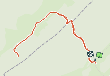

15.1 km | 21 km-effort


User


FREE GPS app for hiking
 SityTrail
IGN / Geographical institutes
SityTrail World
The world is yours!
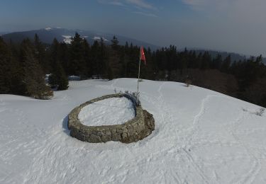
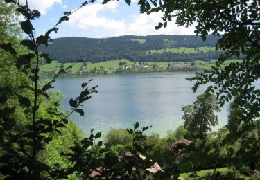
Trail Walking of 6.9 km to be discovered at Vaud, District de Nyon, Bassins. This trail is proposed by tonymeyer.
Laisser la voiture là où la route de la montagne tourne à droite pour prendre le combe des Ambournex.
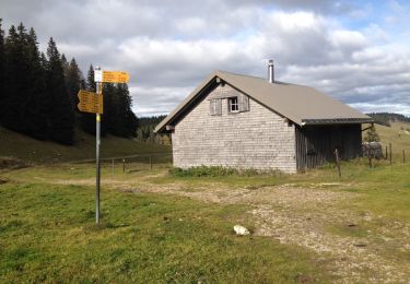
On peut prolonger par le Bois des Loges pour aller à la fromagerie des Loges.

Walking

Walking

Walking

Walking

On foot
On foot
Walking
Walking
Cycle