Trail Other activity Breuvannes-en-Bassigny - francky - Photo
© OpenStreetMap contributors
Length
Length
24 km
Max alt
Max alt
505 m
Uphill gradient
Uphill gradient
374 m
Km-Effort
Km-Effort  
30 km
Min alt
Min alt
299 m
Downhill gradient
Downhill gradient
397 m
Boucle
Boucle
No
Creation date :
2014-12-10 00:00:00.0
Updated on :
2014-12-10 00:00:00.0

(0 Reviews)

Other activity
Other activity
5h24
Difficulty : Unknown

Scan this QR Code to open this trail in the SityTrail application

FREE GPS app for hiking

Logo SityTrail SityTrail

IGN / Geographical institutes

Download SityTrail from the App Store Download SityTrail from Google Play

Logo SityTrail SityTrail World

The world is yours!

Download SityTrail from the App Store Download SityTrail from Google Play Download SityTrail on Huawei AppGallery

About

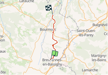
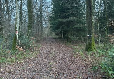
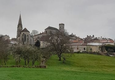
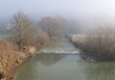
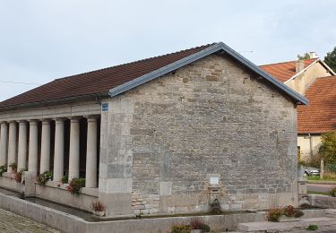
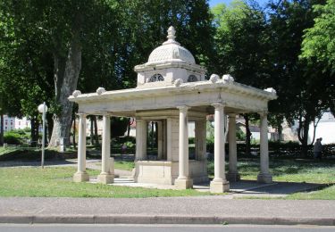
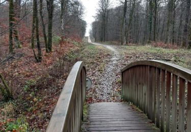
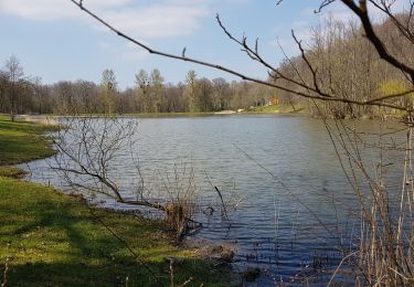
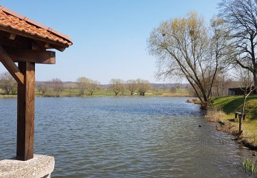
Trail Other activity of 24 km to be discovered at Grand Est, Haute-Marne, Breuvannes-en-Bassigny. This trail is proposed by franckydu52.

Elevation profile

Photos

Positioning

Country:
France
Region :
Grand Est
Department/Province :
Haute-Marne
Municipality :
Breuvannes-en-Bassigny
Location:
Breuvannes-en-Bassigny
Start:(UTM)
693788 ; 5330554 (31U) N.

Trails nearby

Trail Walking Bourmont-entre-Meuse-et-Mouzon - GONCOURT :ENTRE GONCOURT ET HARRÉVILLE LES CHANTEURS - Photo
Walking
jeannine grandjean

Walking

Difficult
(1)
Bourmont-entre-Meuse-et-Mouzon, Grand Est, Haute-Marne, France
10.1 km | 12.6 km-effort
2h 52min
Yes
Trail sport Laneuvelle - Premier balade  - Photo
sport
Jimmbox Jimmbox

sport

Very easy
Laneuvelle, Grand Est, Haute-Marne, France
11.1 km | 16.7 km-effort
Unknown
No
Trail Walking Saint-Thiébault - Bourmont sentier dans les bois  - Photo
Walking
NANE51

Walking

Medium
Saint-Thiébault, Grand Est, Haute-Marne, France
13.7 km | 17.1 km-effort
3h 28min
Yes
Trail Walking Bourmont-entre-Meuse-et-Mouzon - circuit de la bôve et côna - Photo
Walking
Sandra Collart

Walking

Difficult
Bourmont-entre-Meuse-et-Mouzon, Grand Est, Haute-Marne, France
12.2 km | 15.2 km-effort
4h 3min
Yes
Trail Walking Harréville-les-Chanteurs - de HARÉVILLE- LES-CHANTEURS à SAINT-THIÉBAULT en longeant la Meuse - Photo
Walking
jeannine grandjean

Walking

Easy
Harréville-les-Chanteurs, Grand Est, Haute-Marne, France
11.1 km | 12.6 km-effort
3h 6min
No
Trail Walking Ageville - Esnouveaux - Photo
Walking
janussity

Walking

Easy
Ageville, Grand Est, Haute-Marne, France
9.8 km | 12.3 km-effort
2h 29min
Yes
Trail Mountain bike Bourbonne-les-Bains - 102 Les Epinaies - Photo
Mountain bike
delestrai

Mountain bike

Easy
Bourbonne-les-Bains, Grand Est, Haute-Marne, France
11.8 km | 14.9 km-effort
1h 10min
Yes
Trail Walking Bulgnéville - PR3 Bigneville étang des récollets . Contrexeville lac de conge - Photo
Walking
GUIDE
stef789

Walking

Very easy
Bulgnéville, Grand Est, Vosges, France
12 km | 15 km-effort
3h 6min
Yes
Trail Walking Bulgnéville - Bulgneville : Sur les traces du passé - Photo
Walking
ABICHE

Walking

Very easy
Bulgnéville, Grand Est, Vosges, France
12.5 km | 15.7 km-effort
3h 12min
Yes


Close
My subscriptions